- Sioule
Infobox River | river_name = Sioule

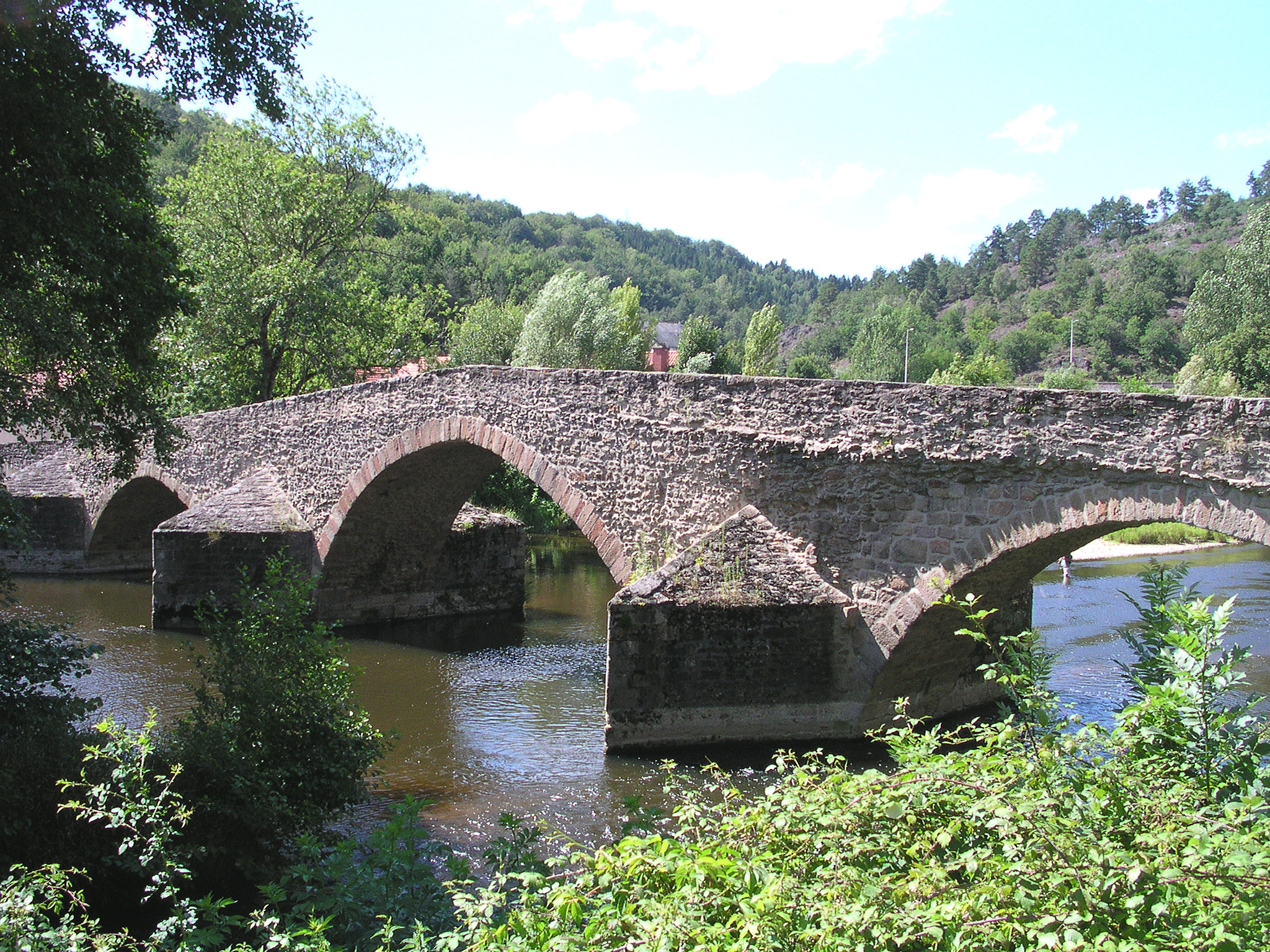
caption = The bridge over the Sioule in Menat.
origin =Massif Central
mouth = Allier
coord|46|21|57|N|3|19|11|E|name=Allier-Sioule|display=inline,title
basin_countries =France
length = 167 km
elevation = 1,100 m
discharge = 26 m³/s
watershed = 2,468 km²The Sioule is a convert|167|km|mi longriver in centralFrance , left tributary of the river Allier. Its source is near the villageOrcival , north ofMont-Dore , in theMassif Central . The Sioule has cut a deepgorge , especially in its upper course. The Sioule flows generally northeast through the following "départements" and towns:*
Puy-de-Dôme :Pontgibaud
*Allier :Ébreuil ,Saint-Pourçain-sur-Sioule The Sioule flows into the river Allier 10 km (6 mi) north of Saint-Pourçain-sur-Sioule.
References
*http://www.geoportail.fr
* [http://sandre.eaufrance.fr/app/chainage/courdo/htm/K3--020-.php?cg=K3--020- The Sioule at the Sandre database]
Wikimedia Foundation. 2010.
