- Veľké Lovce
Geobox | Settlement
name = Veľké Lovce
other_name =
category = Village
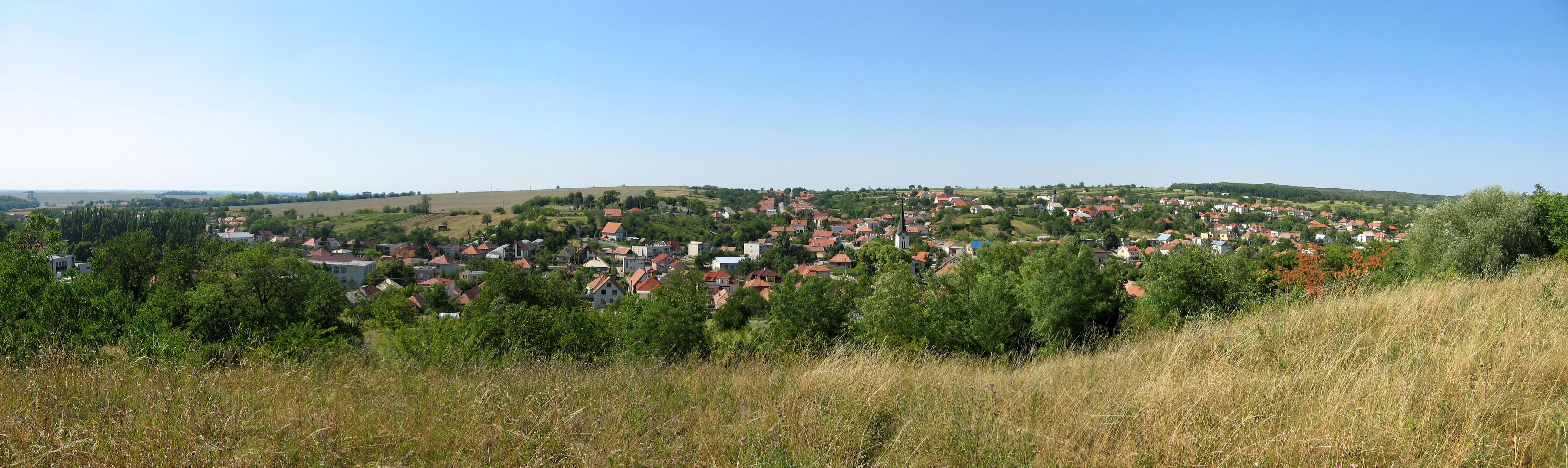
map2 = obec_01.jpg
image_caption =
symbol = Velke Lovce erb.gif
etymology =
official_name =
motto =
nickname =
country = Slovakia
country_
state =
region = Nitra
district = Nové Zámky
commune =
municipality =
part =
river =
location =
elevation = 189
lat_d = 48
lat_m = 03
lat_s = 50
lat_NS = N
long_d = 18
long_m = 20
long_s = 14
long_EW = E
coordinates_type = region:SK_type:city
highest =
highest_elevation =
highest_lat_d =
highest_long_d =
lowest =
lowest_elevation =
lowest_lat_d =
lowest_long_d =
area = 25.85
population = 2079
population_date = 2004-12-31
population_density = auto
established = 1236
established_type = First mentioned
mayor = Ing. Libor Kráľ
timezone = GMT
timezone_DST =
postal_code = 941 42
area_code = +421-35
code = NZ
code_type = Car plate
free =

map_background = Slovakia - background map.png
map_locator = Slovakia
map1 = Nitra Region - outline map.svg
map1_size = 192
map1_background = Nitra Region - background map.png
map1_locator = Nitra Region
commons = http://www.velkelovce.sk/
statistics = [http://www.statistics.sk/mosmis/eng/prvav2.jsp?txtUroven420404&lstObec503631&Okruhzaklad MOŠ/MIS]
website =
footnotes =Veľké Lovce ( _hu. Újlót) is a
town andmunicipality in theNové Zámky District in theNitra Region of south-westSlovakia .History
In historical records the first mention of the town is from
1236 , Though the exact date the town was formed is unknown.The territory of the town is enriched by an old monastery (Mariačalád) built in
1510 which served during most of the later medieval age and was owned by monks of the Paulin order. The monastery consisted of two towers built over the church and the monks housing. It's library is also worth mentioning, for the fact that it held over 1100 books, but in1784 they were transferred to Budin (present dayBudapest ). The monastery along with the order were canceled byJoseph II . The monastery was passed on to the town's owner.Until 1899 the town had two separate parts
Velký Lót and Malý Lót. But due to a catastrophic fire the whole town was destroyed, it then changed the name and was known under the new name Lót. From 1938-1945 the town was a part ofHungary due to border changes inWW2 . After the war the name changed to the final Veľké Lovce.Geography
The
municipality of Veľké Lovce is situated in the Nové Zámky district, Nitriansky region at analtitude of 189metres and it covers anarea of 25.846 km².. It lies on the bed of the Pohronská Pahorkatina, in a valley surrounded by forest from the northern and eastern side of the town.The township belongs to the micro region named Termál, and it's not far away from a well known thermal water resortPodhájska .Ethnicity
The population of the town is: 86% Slovak, 10% Magyar, and 4% Roman Minority(Gypsy).
Facilities
The
town has a publiclibrary and afootball pitch serving the needs of the football clubTJ Velke Lovce . In 1996 a museum was erected inside the Cultural house. There are two churches in the town, the Reformed Christian church built in 1882 and the Roman catholic church built 1904-1906. There's also a memorial for the men who gave their lives in the first and second world wars, it is in the local cemetery. In 2006, a social house for the elderly was opened.Events
Every summer the town participates in organizing concerts and provides support in many forms. Upon the few of the bands and artists that have held a concert in Velke Lovce are
Desmod , Gladiátor, Verona.


Wikimedia Foundation. 2010.