- Heringsdorf Airport
Infobox Airport
name = Heringsdorf Airport
nativename = Flughafen Heringsdorf
nativename-a =
nativename-r =
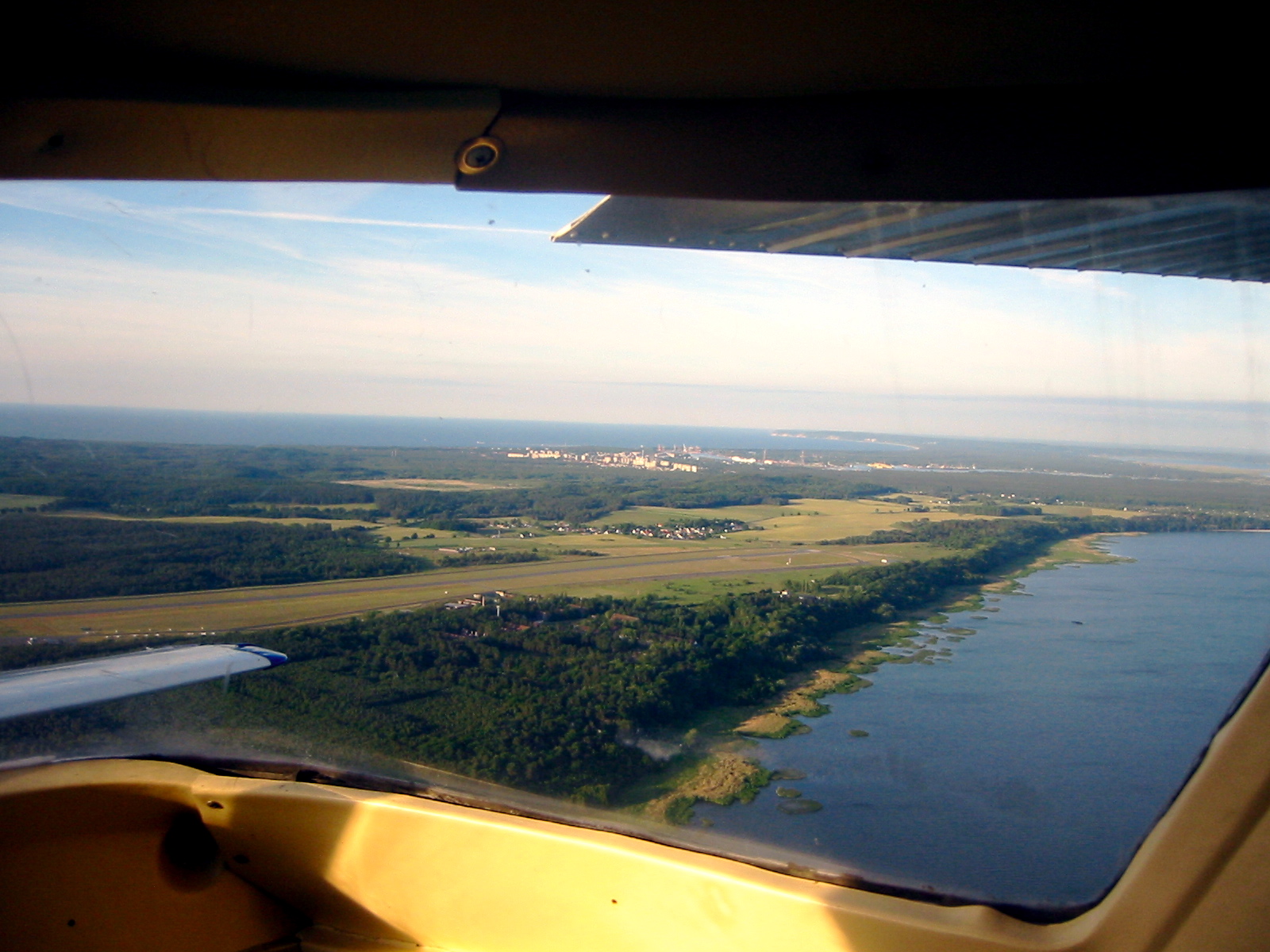
image-width =
caption =
IATA = HDF
ICAO = EDAH
type = Public
owner =
operator = Flughafen Heringsdorf GmbH
city-served =
location = Heringsdorf
elevation-f = 92
elevation-m = 28
coordinates = Coord|53|52|43|N|014|09|08|E|type:airport|display=inline,title
website =
metric-elev =
metric-rwy =
r1-number = 10/28
r1-length-f = 7,562
r1-length-m = 2,305
r1-surface =Asphalt
r2-number = 10R/28L
r2-length-f = 1,969
r2-length-m = 600
r2-surface =Grass
stat-year =
stat1-header =
stat1-data =
stat2-header =
stat2-data =
footnotes =Heringsdorf Airport ( _de. Flughafen Heringsdorf) Airport codes|HDF|EDAH is a
regional airport located near Garz on the island ofUsedom inGermany . It takes its name from the nearby municipality of Heringsdorf, located some 10 km to the north. The largest town on the island isŚwinoujście (population 41,000), located inPoland , immediately to the east of the airport. The airport served 30,754 passengers in2005 and at present has only seasonal scheduled service. Nonetheless, with its 2300-meter paved runway and a sizable terminal, it is a natural commuter airport for all of Usedom, German or Polish.Airlines and destinations
*
Ostfriesische Lufttransport (Bremen [seasonal] , Cologne/Bonn [seasonal] , Dortmund [seasonal] , Frankfurt [seasonal] , Munich [seasonal] )
*Lufthansa (Düsseldorf [seasonal] )External links
* [http://www.flughafen-heringsdorf.de/ Official website of Heringsdorf Airport] de icon pl icon
*WAD|EDAH
Wikimedia Foundation. 2010.