- Ephrata Municipal Airport
Infobox Airport
name = Ephrata Municipal Airport
nativename =
nativename-a =
nativename-r =
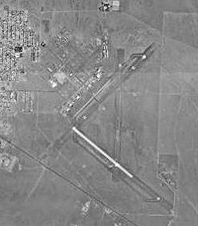
image-width =
caption =
IATA = EPH
ICAO = KEPH
type = Public
owner =
operator = Port District No. 9 of Grant County
city-served =
location = Ephrata, Washington
elevation-f = 1,275
elevation-m = 388.6
coordinates = Coord|47|18|27|N|119|30|57|W|type:airport_region:US|display=inline,title
website =
metric-elev =
metric-rwy =
r1-number = 2/20
r1-length-f = 6,700
r1-length-m = 2,042
r1-surface =Asphalt
r2-number = 11/29
r2-length-f = 3,843
r2-length-m = 1,171
r2-surface =Concrete
stat-year =
stat1-header =
stat1-data =
stat2-header =
stat2-data =
footnotes =Ephrata Municipal Airport Airport codes|EPH|KEPH is a public
airport located two miles (3 km) southeast of thecentral business district (CBD) of Ephrata, a city in Grant County,Washington , USA. The airport covers convert|2300|acre|ha|0|lk=on and has tworunway s.History
During
World War II the facility was known as Epharata Army Air Base.ee also
*
Washington World War II Army Airfields References
* [http://www.gcr1.com/5010web/airport.cfm?Site=EPH Airport Master Record (FAA Form 5010)] , also available as a [http://www.gcr1.com/5010web/Rpt_5010.asp?au=PU&o=PU&faasite=26204.*A&fn=EPH printable form] (PDF)
External links
* [http://www.portofephrata.com/ Port of Ephrata: Port District #9 of Grant County, Washington]
*WSDOT Pilot's Guide: [http://www.wsdot.wa.gov/NR/rdonlyres/E89F1C56-D1ED-4BB9-8E78-D60BC3E08980/0/PilotsGuide_Ephrata_EphrataMunicipal.pdf Ephrata Municipal] (PDF)
*WSDOT Economic Impacts: [http://www.wsdot.wa.gov/NR/rdonlyres/D6C79A0D-6144-4926-A5D6-688B4EDA95F5/0/NCR_Ephrata.pdf Ephrata Municipal Airport] (PDF)
Wikimedia Foundation. 2010.