- Grindavík
Infobox City
official_name = Grindavíkurbær, Iceland
image_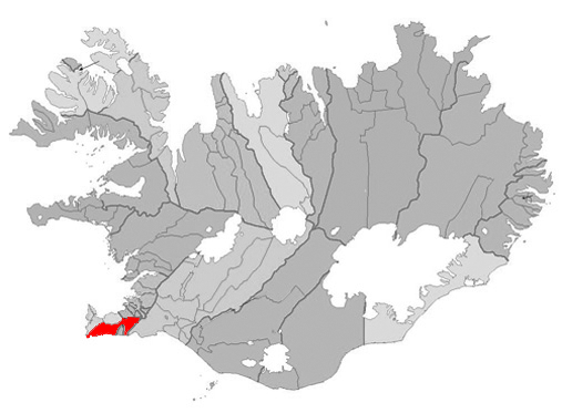
mapsize = 300px
map_caption =Location ofGrindavík ,Iceland (left/center)
subdivision_type = Constituency
subdivision_name = South
area_magnitude =
area_total_sq_mi =
area_total_km2 = 425
population_as_of = April 1, 2008
population_total =2,817
population_urban =
population_metro =
population_density_km2 = 6.49
population_density_sq_mi =
latd=63 |latm=50 |latNS=N
longd=22 |longm=26 |longEW=W
website = http://www.grindavik.is/
footnotes = Postal Code: 240Grindavík is a fishing town at the peninsula of
Reykjanes at the south-western coast ofIceland . It is one of the few cities with a harbour at this coast. Most of the 3,000 inhabitants work in the fishing industry. TheBlue Lagoon , Grindavík's premiere attraction, is located convert|3|mi|km from the town centre.History
Landnáma or 'The Book of Settlements' mentions that around 934 two Viking settlers, Molda-Gnúpur Hrólfsson and Þórir haustmyrkur Vígbjóðsson, arrived in theReykjanes area. Þórir settled in Selvog and Krísuvík and Molda-Gnúpur in Grindavík. [http://www.grindavik.is]The sons of Moldar-Gnúpur established three settlements; Þórkötlustaðahverfi, Járngerðarstaðarhverfi and Staðarhverfi. The modern version of the town is situated mainly in Járngerðarstaðarhverfi.
The origins of the municipality can be traced to Einar Einarsson’s (who lived in Gardhusum) decision to build and run a shop in 1897 which was located in Járngerðarstaðarhverfi but during that time the town population was only around 360. Fishing had for centuries been a crucial element in the survival of Grindavik’s population. But fishing trips were often extremely dangerous. Men were frequently lost at sea and the catch not always stable. However when a safer access point to land was dug into Hópið in 1939 fishing conditions changed massively and from 1950 serious development in the fishing industry begun to take place. Grindavik was declared a municipality in 1974.
Activities
A short distance to the north, there is the "Blue Lagoon" ( _is. Bláa Lónið), a geothermal spa using hot and mineralized waters from the near-by Svartsengi power station.
UMFG is the town's sport club.
The
Leif the Lucky Bridge spans theÁlfagjá rift valley (60 feet wide and convert|20|ft|m deep) that marks the boundary of the Eurasian and North American continental tectonic plates. It was built in 2002 and named in honor of Icelandic explorerLeif Eriksson who travelled from Europe to America 500 years before Columbus.The Icelandic Saltfish Museum in Grindavík opened 6th of September 2002. It displays the story of salt fish production and its importance for the Icelandic economy throughout the centuries in a new specially designed house spanning 650m2.
Notable residents
The
Iceland icwriter Guðbergur Bergsson was born here, andKalli Bjarni , the first winner of the Icelandic version ofPop Idol , lives in the town.Naval Communication Facility
At Grindavik, there is a radio station of the US Navy, which is active on 37.5 kHz under the callsign TFK. It uses as antenna two guyed masts of different height, situated at 63°51'3"N 22°27'6"W and at 63°51'1"N 22°28'0"W.
Twin Towns
*flagicon|Finland
Rovaniemi ,Finland
*flagicon|DenmarkHirtshals ,Denmark
*flagicon|SwedenPiteå ,Sweden
*flagicon|United KingdomPenistone ,United Kingdom
*flagicon|FranceJonzac ,France
*flagicon|PortugalIlhavo ,Portugal ee also
*
List of settlements in Iceland
*Reykjanes
*Geothermal power in Iceland External links
*en icon [http://www.ulivewhere.com/low/downloads/download-grindavik.html An Audio interview with a Grindavík resident about life in Grindavík]
* [http://www.icelandiscool.com/grindavik/ Photos]
* [http://www.picsearch.com/pictures/travel/cities/western%20europe/iceland/grindav%C3%ADk.html More photos]
* [http://www.grindavik.is/ Official Website]
* [http://www.bluelagoon.is Blue Lagoon]
* [http://nat.is/Information%20Centres/grindavik_page.htm Grindavik Tourist Information]
* [http://www.virtualtourist.com/travel/Europe/Iceland/Gullbringusysla/Grindavik-248585/TravelGuide-Grindavik.html Virtual Tourist Travel Guide - Grindavik]
Wikimedia Foundation. 2010.