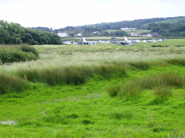
- Bembridge Airport
Infobox Airport
name = Bembridge Airport
nativename =
nativename-a =
nativename-r =

image-width =
caption =
IATA = BBP
ICAO = EGHJ
type = Private
owner =
operator = B-N Group Ltd
city-served =
location = [Bembridge]
elevation-f = 53
elevation-m = 16
coordinates = Coord|50|40|41|N|001|06|34|W|type:airport|display=inline
website = [http://www.eghj.com/ www.eghj.com]
metric-rwy = Y
r1-number = 12/30
r1-length-f = 2,746
r1-length-m = 837
r1-surface =Concrete
stat-year =
stat1-header =
stat1-data =
stat2-header =
stat2-data =
footnotes = Source: UK AIP at NATSBembridge Airport Airport codes|BBP|EGHJ is located 2.3
nautical mile s (4.3 km) northeast ofSandown ,Isle of Wight ,England .Bembridge Aerodrome has a CAA Ordinary Licence (Number P854) that allows flights for the public transport of passengers or for flying instruction as authorised by the licensee (Bembridge Airport Limited) [ [http://www.caa.co.uk/docs/375/srg_asd_ordinarylicences.pdf Civil Aviation Authority Aerodrome Ordinary Licences] ] .
The airport is home to the aircraft manufacturer
Britten Norman , part of the B-N Group which operates the airport. The European assembly plant for Cirrus light aircraft is also located at Bembridge. There is also a Gliding Club operating from the south side [Vectis Gliding Club [http://www.vectisglidingclub.co.uk] ] }References
*
United Kingdom AIPExternal links
* [http://www.eghj.com/ Bembridge Airport]
Wikimedia Foundation. 2010.
