- Avers
Infobox Swiss town
subject_name = Avers
municipality_name = Avers
municipality_type = municipality
imagepath_coa = 98px-Avers_-_Wappen_-_001.png|pixel_coa=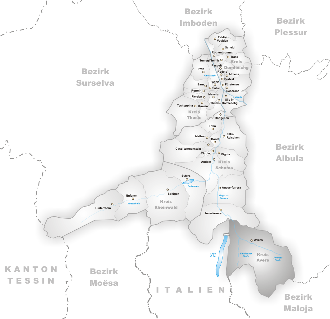
languages =
canton = Grisons
iso-code-region = CH-GR
district = Hinterrhein
lat_d=46|lat_m=28|lat_NS=N|long_d=9|long_m=31|long_EW=E
postal_code = 7447
municipality_code = 3681
area = 93.07
elevation = 1960|elevation_description= Cresta
population = 191|populationof = December 2003 | popofyear = 2003
website = www.avers.ch
mayor = |mayor_asof=|mayor_party=
mayor_title = |list_of_mayors =
places =
demonym =
neighboring_municipalities=Bivio ,Ferrera ,Mulegns ,Piuro (IT-SO), Soglio
twintowns = |Avers is a municipality in the district of Hinterrhein in the Swiss canton of
Graubünden .The following villages are part of the municipality: Campsut (and Maxsut, 1668 m), Cröt (1715 m), Cresta (1960 m), Pürt (1921 m), Am Bach (1959 m), Juppa (2004 m), Podestatsch Hus (2046 m) and
Juf (2126 m).Languages
German is spoken by the vast majority of the population and is the only official language of the municipality.
External links
*HDS|1495
Wikimedia Foundation. 2010.