- Curiglia con Monteviasco
-
Curiglia con Monteviasco — Comune — Comune di Curiglia con Monteviasco 
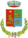
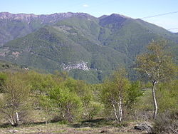
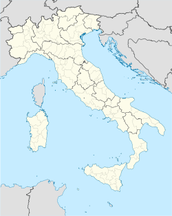
Coat of armsLocation of Curiglia con Monteviasco in Italy Coordinates: 46°3′N 8°48′E / 46.05°N 8.8°ECoordinates: 46°3′N 8°48′E / 46.05°N 8.8°E Country Italy Region Lombardy Province Varese (VA) Frazioni Curiglia, Monteviasco, Sarona, Alpone, Piero, Viasco, Mulini, Alpe Polusa, Alpe Fontanella, Alpe Cortetti, Alpe Cà del Sasso, Madonna della Guardia, Alpe Rattaiola, Alpe Corte, Alpe Merigetto, Ponte di Piero, Alpe rivo, Alpe Pian Cavurico, Monte Lema Government - Mayor Ambrogio Rossi Area - Total 11.3 km2 (4.4 sq mi) Elevation 670 m (2,198 ft) Population (Dec. 2004)[1] - Total 189 - Density 16.7/km2 (43.3/sq mi) Demonym Curigliesi Time zone CET (UTC+1) - Summer (DST) CEST (UTC+2) Postal code 21010 Dialing code 0332 Curiglia con Monteviasco is a comune (municipality) in the Province of Varese in the Italian region Lombardy, located about 110 km northwest of Milan and about 70 km northwest of Varese in the Val Veddasca, on the border with Switzerland. The municipal seat is in Curiglia.
References
Categories:- Cities and towns in Lombardy
- Communes of the Province of Varese
- Province of Varese geography stubs
Wikimedia Foundation. 2010.


