- Arc (Provence)
Infobox River | river_name = Arc

image_size = 200px
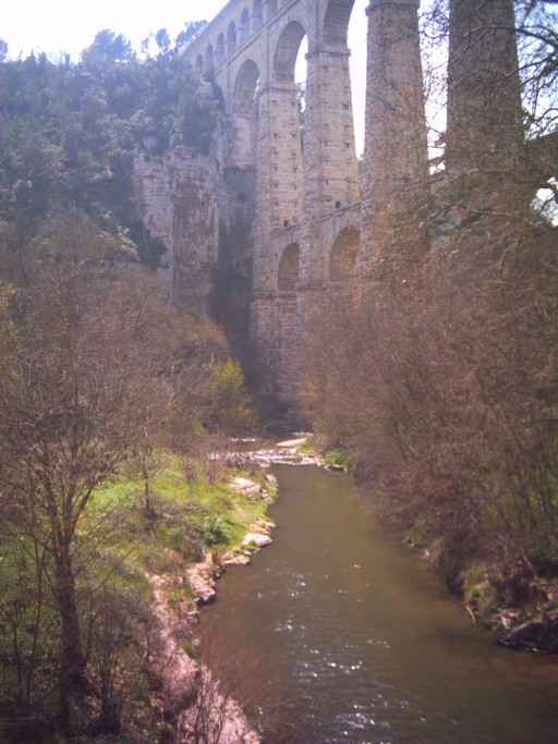
caption = The Arc inRoquefavour
origin = nearPourcieux
mouth =Étang de Berre
coord|43|30|24|N|5|6|49|E|name=Étang de Berre-Arc|display=inline,title
basin_countries =France
length = 83 km
elevation = 470 m
discharge =
watershed = 727 km²The Arc is an 83 km longriver in the south ofFrance . It arises at an altitude of 470 m, close to the village ofPourcieux . It then passes throughAix-en-Provence before flowing into theÉtang de Berre , a lake to the west ofMarseille .Its
drainage basin , with a surface area of 727 km², is divided between two départments, Var andBouches-du-Rhône . The risk of flood, always present in the basin, has been aggravated by urban development that has sometimes been lacking in foresight, with Aix-en-Provence particularly threatened.References
* Much of the content of this article comes from the [http://fr.wikipedia.org/wiki/Arc_%28fleuve%29 equivalent French-language Wikipedia article] .
* [http://sandre.eaufrance.fr/app/chainage/courdo/htm/Y4--0200.php?cg=Y4--0200 The Arc at the Sandre database]
Wikimedia Foundation. 2010.
