- Safety Harbor Site
Infobox_nrhp
name = Safety Harbor Site
nrhp_type = nhl-fl

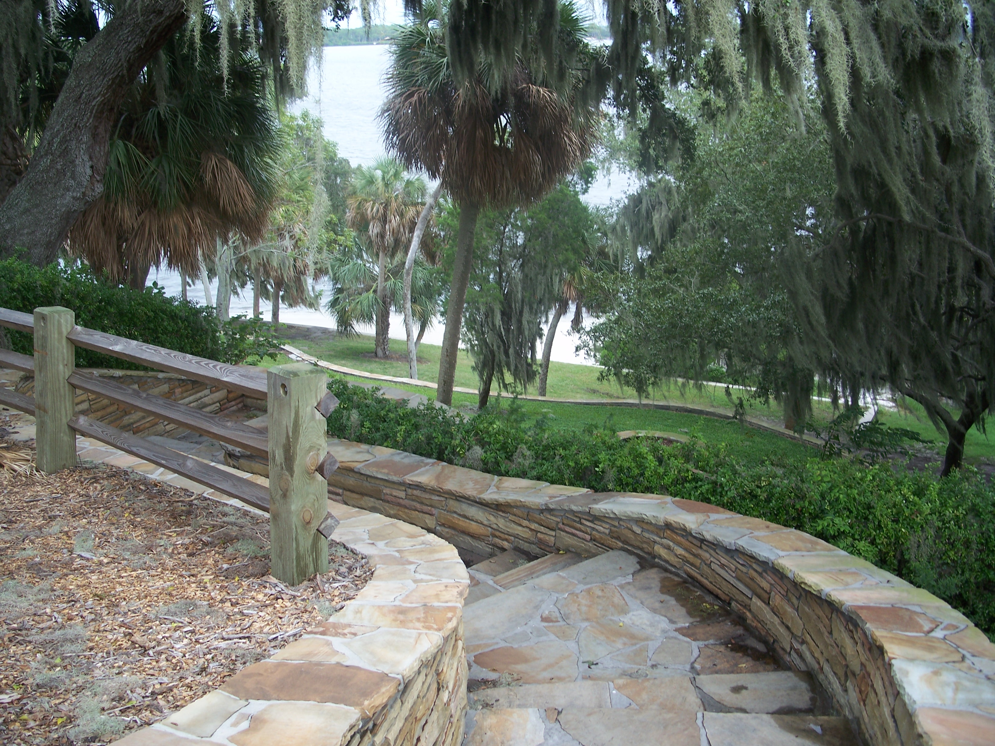
caption = Looking down from the top of the site
location = Safety Harbor,Florida
lat_degrees = 28
lat_minutes = 00
lat_seconds = 32
lat_direction = N
long_degrees = 82
long_minutes = 40
long_seconds = 39
long_direction = W
area =
built =
designated =July 19 ,1964 [http://tps.cr.nps.gov/nhl/detail.cfm?ResourceId=168&ResourceType=Site Safety Harbor Site] at [http://tps.cr.nps.gov/nhl National Historic Landmarks Program] ]
added =October 15 ,1966
refnum = 66000270cite web|url=http://www.nationalregisterofhistoricplaces.com/FL/Pinellas/state.html|title=National Register of Historical Places - Florida (FL), Pinellas County|date=2007-09-22|work=National Register of Historic Places|publisher=National Park Service]
visitation_num =
visitation_year =
governing_body = Private, Local governmentThe Safety Harbor Site is a historic site in Safety Harbor,
Florida , located inPhilippe Park , at 2355 Bayshore Drive. It is the largest remaining mound in theTampa Bay area, and is believed to have been the "capital city" of theTocobaga . [http://www.sptimes.com/2006/09/29/Northpinellas/The_sacred_hill_of_Ph.shtml The sacred hill of Philippe Park] ] OnOctober 15 ,1966 , it was added to the U.S.National Register of Historic Places .References
External links
* [http://www.flheritage.com/facts/reports/places/index.cfm?fuseaction=ListAreas&county=Pinellas Pinellas County listings] at [http://www.flheritage.com Florida's Office of Cultural and Historical Programs]
Wikimedia Foundation. 2010.
