- Rothenfluh
Infobox Swiss town
subject_name = Rothenfluh
municipality_name = Rothenfluh
municipality_type = municipality
imagepath_coa = |pixel_coa=
languages = German
canton = Basel-Country
iso-code-region = CH-BL
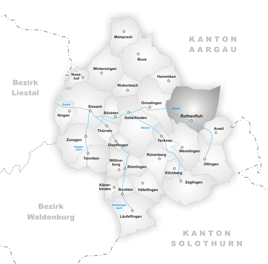
district = Sissach
lat_d=47|lat_m=28|lat_NS=N|long_d=7|long_m=55|long_EW=E
postal_code = 4467
municipality_code = 2858
area = 10.93
elevation = 471|elevation_description=
population = 714|populationof = December 2005 | popofyear = 2005
website = www.rothenfluh.ch
mayor = |mayor_asof=|mayor_party=
mayor_title = |list_of_mayors =
places =
demonym =
neighboring_municipalities=Anwil ,Hemmiken ,Oltingen ,Ormalingen ,Wegenstetten (AG),Wenslingen ,Wittnau (AG)
twintowns = |Rothenfluh is a municipality in the district of Sissach in the canton of
Basel-Country inSwitzerland .Rothenfluh is a conglomeration of seven medieval villages: Loglingen, Hendschikon, Söllickken, Werlickhen, Hohlwingen, Gastwingen, and Werdlingen.
In 1196, the site was called "Rotenfluo". Most of the other medieval villages lost population, and Loglingen became the present village. In the 12th century, part of the territory of the municipality belonged to the Catholic
Bishop of Basel , and part to theHabsburg s.In the 16th century, the village became part of the Helvetic Confederation in the district of
Gelterkinden . In 1803, it became a municipality of the district of Sissach.Originally, there were two Catholic parishes, St. Stephan and St. Georg. The two parishes were united in the 13th century.
External links
* [http://www.rothenfluh.ch Official website] de icon
Wikimedia Foundation. 2010.