- Horšovský Týn
Geobox | Settlement
name = Horšovský Týn
other_name =
category = Town
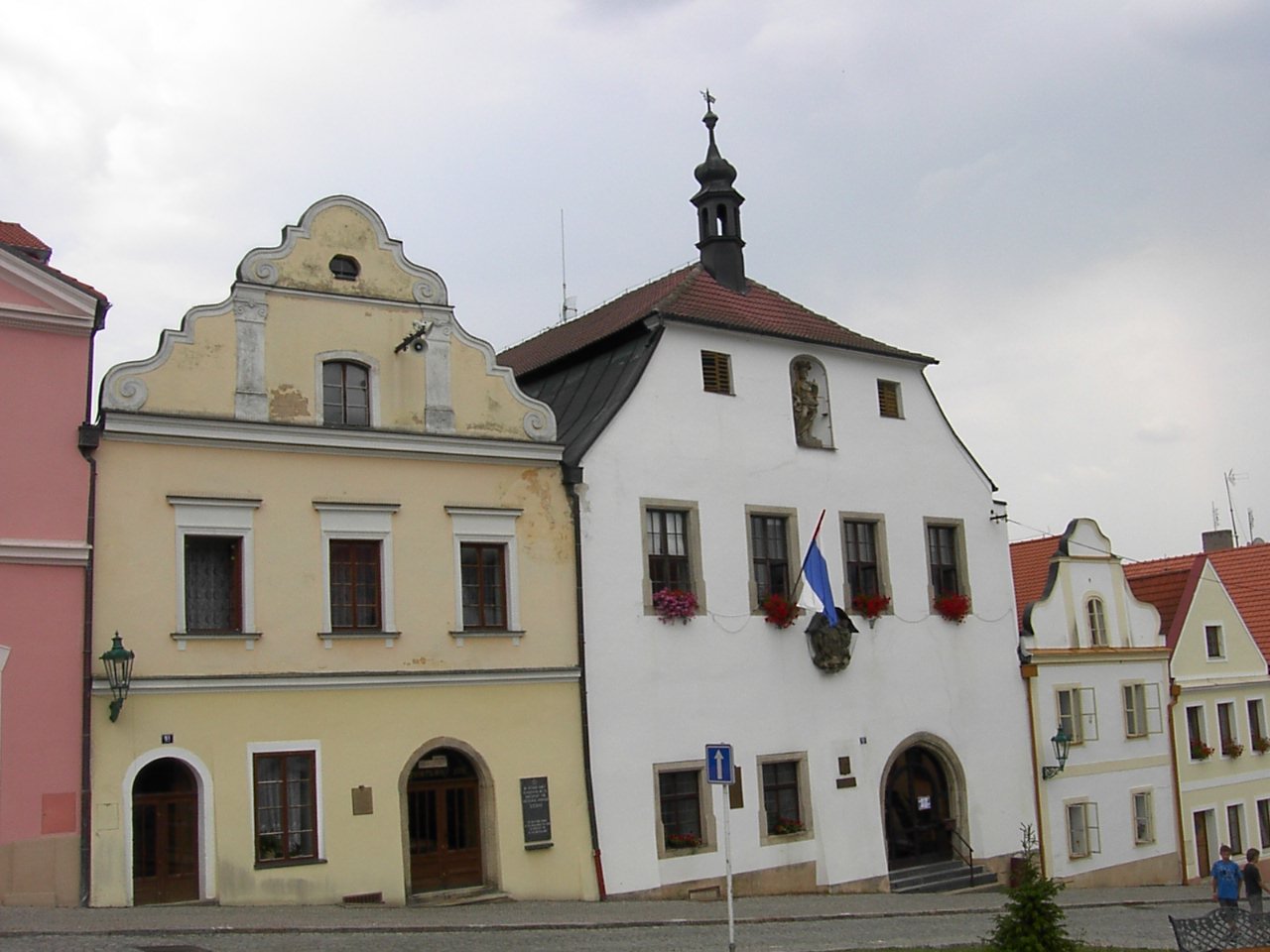
image_caption = Town hall
symbol =
etymology =
official_name =
motto =
nickname =
country = Czech Republic
country_
state =
region = Plzeň
region_type = Region
district = Domažlice
district_type = District
commune = Horšovský Týn
municipality =
part_fold = 1
part = Borovice
part1 = Dolní Metelsko
part2 = Hašov
part3 = Horní Metelsko
part4 = Horšov
part5 = Kocourov
part6 = Lazce
part7 = Malé Předměstí
part8 = Město
part9 = Nová Ves
part10 = Oplotec
part11 = Plzeňské Předměstí
part12 = Podhájí
part13 = Podražnice
part14 = Semošice
part15 = Svatá Anna
part16 = Svinná
part17 = Tasnovice
part18 = Valdorf
part19 = Velké Předměstí
part20 = Věvrov
river =
location = Náměstí Republiky
elevation = 376
lat_d = 49
lat_m = 31
lat_s = 47
lat_NS = N
long_d = 12
long_m = 56
long_s = 36.5
long_EW = E
highest =
highest_elevation =
highest_lat_d =
highest_long_d =
lowest =
lowest_elevation =
lowest_lat_d =
lowest_long_d =
area = 71.44
area_round = 2
population = 4906
population_date = 2007-06-04
population_density = auto
established = 1184
established_type = First mentioned
mayor = Josef Holeček
timezone =
map_background = Czechia - background map.png
map_locator = Czechia
commons = Horšovský Týn
statistics = [http://www.statnisprava.cz/ebe/ciselniky.nsf/i/553671 statnisprava.cz]
website = [http://www.horsovskytyn.cz/mesto/ www.horsovskytyn.cz/mesto]
footnotes =
name = Horšovský Týn
native_name =
other_name =
other_name1 =
category = Municipality with Extended Competence
image_size =
image_caption =
flag_size =
symbol =
symbol_size =
country = Czech Republic
state =
region = Plzeň
district =
capital =
capital_lat_d =
capital_lat_m =
capital_lat_s =
capital_lat_NS =
capital_long_d =
capital_long_m =
capital_long_s =
capital_long_E =
capital_elevation =
part_type =
part_label = Municipalities with Commissioned Local Authority
part_count = 2
part = Horšovský Týn
part1 = Staňkov
area = 288.65
area_round = 2
highest =
highest location =
highest_lat_d =
highest_lat_m =
highest_lat_s =
highest_lat_NS =
highest_long_d =
highest_long_m =
highest_long_s =
highest_long_EW =
highest_elevation =
lowest =
lowest_location =
lowest_lat_d =
lowest_lat_m =
lowest_lat_s =
lowest_lat_NS =
lowest_long_d =
lowest_long_m =
lowest_long_s =
lowest_long_EW =
lowest_elevation =
population_as_of = 2005-12-31
population = 13690
population_density = auto
established_type =
established =
leader =
timezone =
utc_offset =
timezone_DST =
utc_offset_DST =
code_type =
code =
code1_type =
code1 =
free_type =
free =
free1_type =
free1 =
map_size =
map_caption =
map_locator =
map_locator_x =
map_locator_y =
website =
footnotes = Geobox Region | geobox_width = 270
name = Horšovský Týn
native_name =
other_name =
other_name1 =
category = Municipality with Commissioned Local Authority
image_size =
image_caption =
flag_size =
symbol =
symbol_size =
country = Czech Republic
state =
region = Plzeň
district = Horšovský Týn
district_type = Little District
district_label = Municipality with Commissioned Local Authority
capital =
capital_lat_d =
capital_lat_m =
capital_lat_s =
capital_lat_NS =
capital_long_d =
capital_long_m =
capital_long_s =
capital_long_E =
capital_elevation =
part_type = Municipalities
part_label =
part_count = 10
part = Blížejov
part1 = Horšovský Týn
part2 = Křenovy
part3 = Meclov
part4 = Mezholezy
part5 = Mířkov
part6 = Semněvice
part7 = Srby
part8 = Velký Malahov
part9 = Vidice
area = 220.46
area_round = 2
highest =
highest location =
highest_lat_d =
highest_lat_m =
highest_lat_s =
highest_lat_NS =
highest_long_d =
highest_long_m =
highest_long_s =
highest_long_EW =
highest_elevation =
lowest =
lowest_location =
lowest_lat_d =
lowest_lat_m =
lowest_lat_s =
lowest_lat_NS =
lowest_long_d =
lowest_long_m =
lowest_long_s =
lowest_long_EW =
lowest_elevation =
population_as_of = 2005-12-31
population = 8729
population_density = auto
established_type =
established =
leader =
timezone =
utc_offset =
timezone_DST =
utc_offset_DST =
code_type =
code =
code1_type =
code1 =
free_type =
free =
free1_type =
free1 =
map_size =
map_caption =
map_locator =
map_locator_x =
map_locator_y =
website =
footnotes =Horšovský Týn (IPA2|ˈhorʃofski: ˈti:n; _de. Bischofteinitz) is a town in the
Plzeň Region of theCzech Republic . It lies on the RiverRadbuza , some Unit length|km|40 south-west of the region capitalPlzeň .People
*
Felix Kadlinský
*Joseph Johann von Littrow External links
* [http://www.travel.cz/guide/168/index_en.html Czech Travel Guide Site] - General info about Horsovsky Tyn Chateau, contact info, opening hours etc.
Resources
*citation
last = Czech Statistical Office
year = 2005
title = Vybrané údaje podle správních obvodů obcí s rozšířenou působností a správních obvodů obcí s pověřeným obecním úřadem k 31. 12. 2005
url = http://www.czso.cz/xp/redakce.nsf/i/B78124165F6D1D93C1256F1800285EDB/$File/1-vybr.xls
accessdate = 2005-03-08


Wikimedia Foundation. 2010.