Runina

Runina

Geobox | Settlement
name = Runina
native_name =
other_name =
category = Village


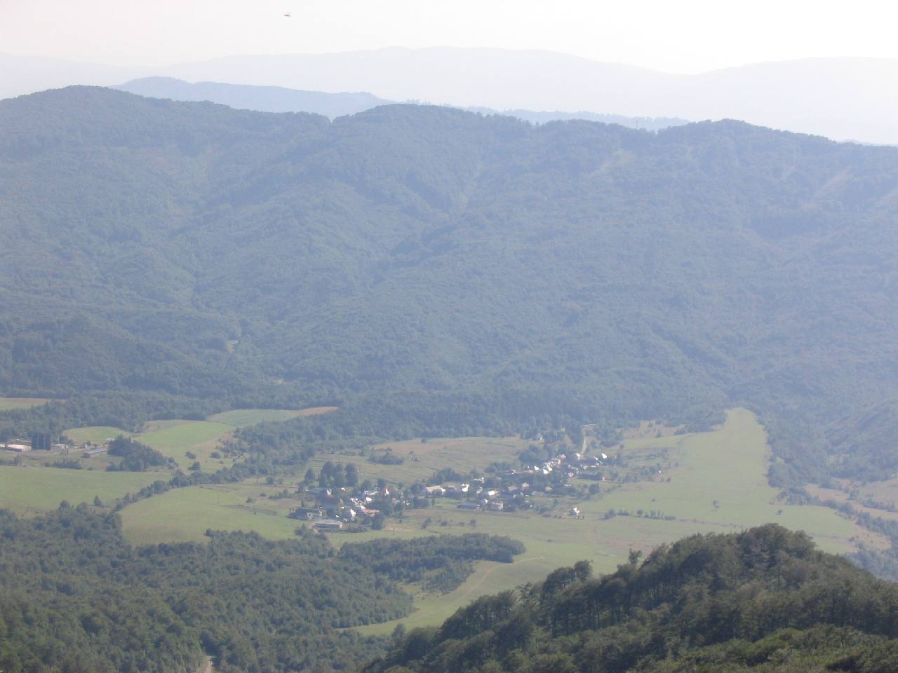
image_caption = View from Poloniny Mountains


symbol =
etymology =
official_name =
motto =
nickname =
country = Slovakia
country_

state =
region = Prešov
district = Snina
municipality =
parent = Horný Zemplín
parent_type = Tourism region
part =
river =
location =
elevation = 560
lat_d = 49
lat_m = 09
lat_NS = N
long_d = 22
long_m = 24
long_EW = E
coordinates_type = region:SK_type:city
highest =
highest_elevation =
highest_lat_d =
highest_long_d =
lowest =
lowest_elevation =
lowest_lat_d =
lowest_long_d =
area = 22.198
area_round = 3
population = 69
population_date = 2006-12-3
population_density = auto
established = 1569
mayor = Anna Laclavová
timezone =
timezone_DST =
postal_code = 067 65
area_code = +421-057
code = SV
code_type = Car plate
free =


map_background = Slovakia - background map.png map_caption = Location of Runina in Slovakia
map_locator = Slovakia
map1 = Prešov Region - outline map.svg
map1_background = Prešov Region - background map.png map1_caption = Location of Runina in the Prešov Region
map1_locator = Prešov Region
commons =
statistics = [http://www.statistics.sk/mosmis/eng/prvav2.jsp?txtUroven440709&lstObec520730&Okruhzaklad MOŠ/MIS]
website = [http://www.runina.wbl.sk www.runina.wbl.sk]
footnotes =

Runina is a village and municipality in Snina District in the Prešov Region of north-eastern Slovakia. www.runina.wbl.sk

History

In historical records the village was first mentioned in 1569.

Geography

The municipality lies at an altitude of 550 metres and covers an area of 22.198 km². It has a population of about 66 people.

External links

*http://www.statistics.sk/mosmis/eng/run.html


Wikimedia Foundation. 2010.

Игры ⚽ Нужна курсовая?

Look at other dictionaries:

  • Runina — (Village) Administration Pays  Slovaquie …   Wikipédia en Français

  • Poloniny National Park — A typical polonina meadow …   Wikipedia

  • Snina District —   District   Country Slovakia Region (kraj …   Wikipedia

  • Nová Sedlica — Location of Snina District in the Prešov Region. Nová Sedlica (Hungarian: Újszék, Ukrainian: Новоселиця (Novoselytsia)) is the easternmost village and municipality in Slovakia (the most eastern point is the Kremenec Mountain), in Snina District… …   Wikipedia

  • Dlhé nad Cirochou — Location of Snina District in the Prešov Region. Dlhé nad Cirochou is a village and municipality in Snina District in the Prešov Region of north eastern Slovakia. History In historical records the village …   Wikipedia

  • Čukalovce — Location of Snina District in the Prešov Region. Čukalovce is a village and municipality in Snina District in the Prešov Region of north eastern Slovakia. History In historical records the …   Wikipedia

  • Dúbrava, Snina District — Location of Snina District in the Prešov Region. Dúbrava is a village and municipality in Snina District in the Prešov Region of north eastern Slovakia. History In historical records the …   Wikipedia

  • Michajlov — Location of Snina District in the Prešov Region. Michajlov is a village and municipality in Snina District in the Prešov Region of north eastern Slovakia. History In historical records the …   Wikipedia

  • Osadné — Location of Snina District in the Prešov Region. Osadné is a village and municipality in Snina District in the Prešov Region of north eastern Slovakia. History In historical records the v …   Wikipedia

  • Bela nad Cirochou — Belá nad Cirochou Wappen Karte …   Deutsch Wikipedia

Share the article and excerpts

Direct link
Do a right-click on the link above
and select “Copy Link”