- Sieniawa
Infobox Settlement
name = Sieniawa
image_shield = POL_Sieniawa_COA.svg
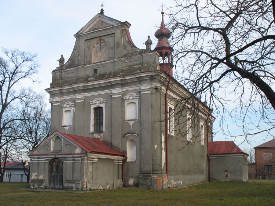
image_caption =Greek Catholic church
pushpin_
pushpin_label_position = bottom
subdivision_type = Country
subdivision_name = POL
subdivision_type1 = Voivodeship
subdivision_name1 = Subcarpathian
subdivision_type2 = County
subdivision_name2 = Przeworsk
subdivision_type3 =Gmina
subdivision_name3 = Sieniawa
leader_title = Mayor
leader_name = Adam Woś
area_total_km2 = 6.76
population_as_of = 2006
population_total = 2065
population_density_km2 = auto
timezone = CET
utc_offset = +1
timezone_DST = CEST
utc_offset_DST = +2
latd = 50 | latm = 10 | lats = 41 | latNS = N | longd = 22 | longm = 36 | longs = 38 | longEW = E
postal_code_type = Postal code
postal_code = 37-530
blank_name = Car plates
website = http://www.sieniawa.plSieniawa [IPA-pl|ś|e1|'|ń|a|w|a] is a town in southeastern
Poland . As of 1998, it had a population of 2,200. Since 1999, Sieniawa has been part of Subcarpathian Province.During the
Holocaust , the town was the site of aJewish ghetto [ [http://www.shtetlinks.jewishgen.org/Krosno/holocaust.htm Shtetlinks Page-The Holocaust ] ]References

Wikimedia Foundation. 2010.