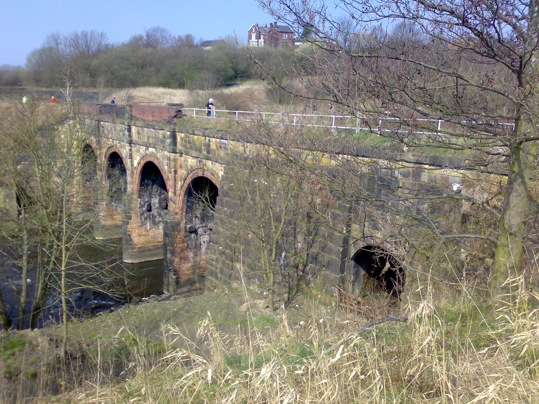
- Prestolee Aqueduct
Infobox Historic building

caption=The Bolton arm of the canal runs underneath the house at the very top of this image, and is accessed via a set of locks
name=Prestolee Aqueduct
location_town=Prestolee ,Greater Manchester
location_country=England
map_type=Greater Manchester
latitude=53.5525
longitude=-2.376111
architect=
client=
engineer=
construction_start_date=
completion_date=1790s
date_demolished=
cost=
structural_system=
style=
size=Prestolee Aqueduct is a stone-built
aqueduct inPrestolee in theMetropolitan Borough of Bolton ,Greater Manchester ,England . The four-arch structure was constructed in the 1790s to carry theManchester, Bolton and Bury Canal across theRiver Irwell . It is now preserved as a Grade IIlisted building . [cite web|title=Prestolee Aqueduct |url=http://www.imagesofengland.org.uk/Details/Default.aspx?id=210525 |publisher=Images of England |accessdate=2008-06-27]The aqueduct is one of two remaining major structures on the canal, the other being the
Clifton Aqueduct . A third major aqueduct,Damside Aqueduct , was demolished in the 1950s.As of 2007, the aqueduct still carries water, although it is not currently navigable as adjoining sections of the canal are in need of restoration.
References
External links
* [http://www.penninewaterways.co.uk/mbb/mbbc33.htm Prestolee Aqueduct on Pennine Waterways website]
*IoE|210525
* [http://maps.google.com/maps?hl=en&t=h&q=United+Kingdom&ie=UTF8&ll=53.552453,-2.3764&spn=0.001256,0.003583&z=19&om=1 Prestolee Aqueduct aerial photograph from Google Maps]
* [http://www.geograph.org.uk/photo/4864 Image of Prestolee Aqueduct on www.Geograph.org.uk]
Wikimedia Foundation. 2010.
