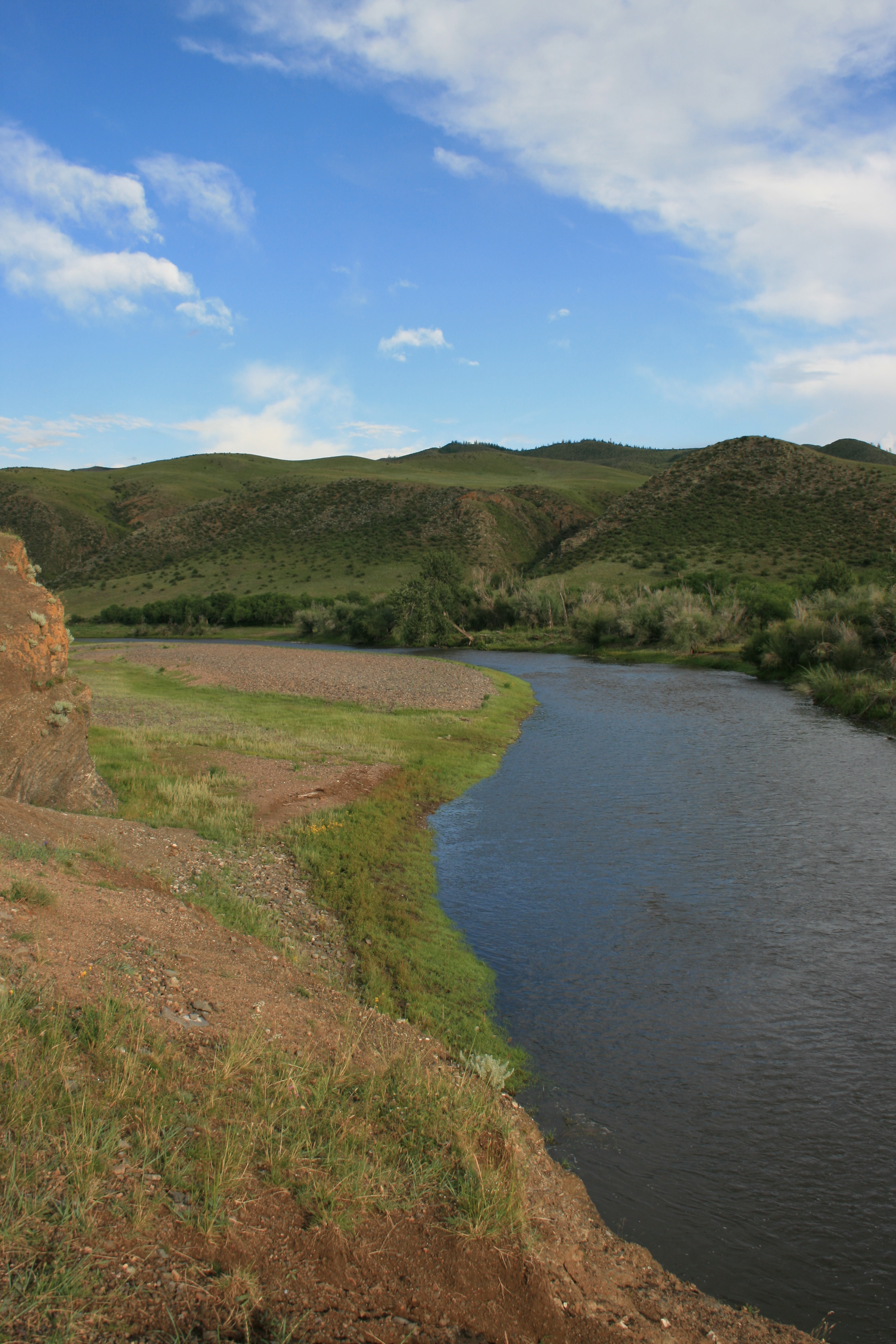
- Khanui River
Geobox|River
name = Khanui Gol
native_name = _mn. Хануйн гол
other_name = Khanui River
category =
etymology =
nickname =

image_caption =
country = Mongolia
state_type = Aimags
state = Arkhangai
state1 = Bulgan
region =
district =
municipality_type = Major city
municipality =
parent =
tributary_left =
tributary_right =
city =
landmark =
source = Khan-Öndör Uul
source_location = Khangai Mountains | source_region =
source_country =
source_elevation =
source_lat_d = | source_lat_m = | source_lat_s = | source_lat_NS =
source_long_d = | source_long_m = | source_long_s = | source_long_EW =
source1 =
source1_location = | source1_region = | source1_country =
source1_elevation =
source1_lat_d = | source1_lat_m = | source1_lat_s = | source1_lat_NS =
source1_long_d = | source1_long_m = | source1_long_s = | source1_long_EW =
source_confluence =
source_confluence_location = | source_confluence_region = | source_confluence_country =
source_confluence_elevation =
source_confluence_lat_d = | source_confluence_lat_m = | source_confluence_lat_s = | source_confluence_lat_NS =
source_confluence_long_d = | source_confluence_long_m = | source_confluence_long_s = | source_confluence_long_EW =
mouth = Selenge River
mouth_location = | mouth_region = | mouth_country =
mouth_elevation =
mouth_lat_d = | mouth_lat_m = | mouth_lat_s = | mouth_lat_NS =
mouth_long_d = | mouth_long_m = | mouth_long_s = | mouth_long_EW =
length = 421
width =
depth =
volume =
watershed = 14620
discharge =
discharge_max =
discharge_min =
free = | free_type =
map_caption =
map_background =
map_locator =
map_locator_x =
map_locator_y =
website =
footnotes =Khanui River ( _mn. "Хануйн гол") is a
river flowing down through the valleys of theKhangai Mountains in centralMongolia .
Wikimedia Foundation. 2010.
