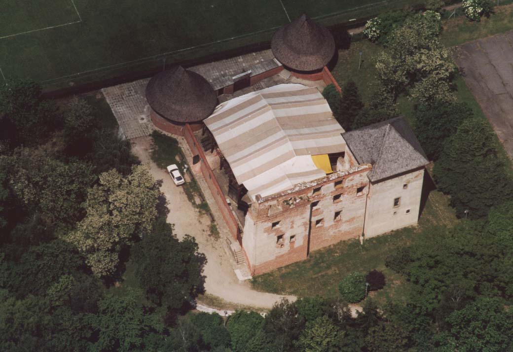
- Kisvárda
Infobox Settlement

image_caption = Castle in Kisvárda
settlement_type =
subdivision_type = Country
subdivision_name = HUNlatd=48 |latm=13 |lats= |latNS=N
longd=22 |longm=05 |longs= |longEW=Epushpin_
pushpin_label_position =
pushpin_map_caption =
pushpin_mapsize =timezone=CET
utc_offset=+1
timezone_DST=CEST
utc_offset_DST=+2
official_name=Kisvárda
subdivision_type1=County
subdivision_name1=Szabolcs-Szatmár-Bereg
area_total_km2=35.91
population_as_of=2005
population_total=17750
population_footnotes=
population_density_km2=502.03
postal_code_type=Postal code
postal_code=4600
area_code=45Kisvárda ( _de. Kleinwardein; _yi. קליינווארדיין) is a
town inSzabolcs-Szatmár-Bereg county, in theNorthern Great Plain region of easternHungary . Today, the town has around 18,000 inhabitants.History
Kisvárda was known in the
Middle Ages as Warda or Warada. The prefix, "kis" meaning "little" in Hungarian, was later added to differentiate the town from Nagyvárad (now Oradea inTransylvania ,Romania ) with "nagy" meaning "great" in Hungarian.Prior to
World War II , Kisvárda had a largeJew ish community that represented about 30 percent of the town'spopulation . They were confined to aghetto in 1944, and then deported to Auschwitz. The majority perished there. A small community was re-established after the war, but almost no Jews are left in Kisvárda today. The formersynagogue , which remains one of the most imposing structures in Kisvárda, is now a localhistory museum known as theRetkozi Muzeum .Economy
Historically, Kisvárda has been a market town for the surrounding agricultural district, and is also has some light industry such as distilling. It is on the main railway line from the Hungarian capital of
Budapest toUkraine . Kisvárda also attracts tourists to its thermal springs, and the ruins of a medieval castle.External links
* [http://www.kisvarda.hu/ Official website]
Wikimedia Foundation. 2010.

