- Pohorje
Geobox|Range
name=Pohorje | other_name=
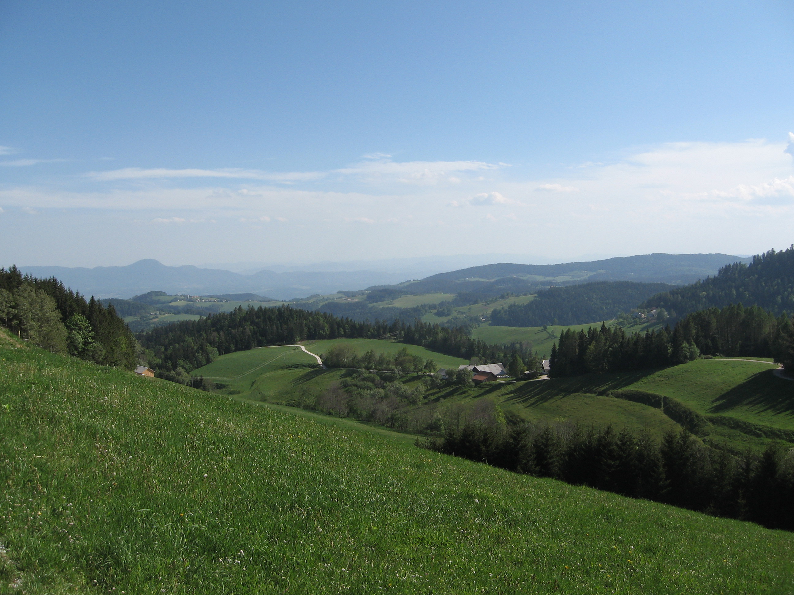
image_caption=Pohorje near Maribor
country=Slovenia| country1 =
state= | state1=
parent=Southern Limestone Alps
area= | length= | length_orientation=
width= | width_orientation=
highest=Črni vrh
highest_elevation=1543
highest_lat_d=46|highest_lat_m=30|highest_lat_s=13|highest_lat_NS=N
highest_long_d=15|highest_long_m=27|highest_long_s=11|highest_long_EW=E
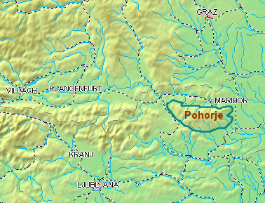 map_caption=Location of Pohorje
Pohorje ( _de. Bachergebirge) is a
mountain range in northernSlovenia , near the towns ofDravograd andMaribor . Made ofmetamorphic rock , it is geologically part of theCentral Eastern Alps , though due to his location south of theDrava River it is commonly regarded as aSouthern Limestone Alps range.Peaks
The most important peaks are:
* Rogla (1517 m)
* Črni vrh (1543 m)
* Velika Kopa (1543 m)
* Veliki Vrh (1347 m)External links
* [http://maribor.uni-mb.si/pohorje/angles/turistic/pohorje/pohorje.htm Pohorje region near Maribor]
Wikimedia Foundation. 2010.