- Vrouwenakker
Dutch town locator maps
mun_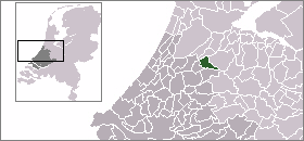
town_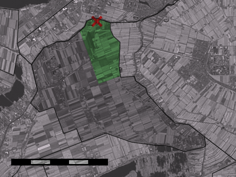
caption = The village (dark red) and the statistical district (light green) of Vrouwenakker in the former municipality of Liemeer.Vrouwenakker is a village in the
Netherlands , about 12 km southeast ofHoofddorp . It lies largely in the municipality ofNieuwkoop (formerlyLiemeer ), in the province ofSouth Holland , but a small part lies in the municipality ofUithoorn , inNorth Holland .The statistical area "Vrouwenakker", which contains the part of the village in
South Holland and the surrounding countryside, has a population of around 310.Statistics Netherlands (CBS), [http://statline.cbs.nl/ "Statline: Kerncijfers wijken en buurten 2003-2005"] . As ofJanuary 1 ,2005 .]References
Wikimedia Foundation. 2010.