- Zhezkazgan
Infobox City
official_name = Zhezkazgan
native_name = Жезқазған
image_
map_caption =
pushpin_
pushpin_label_position =bottom
pushpin_mapsize = 280
pushpin_map_caption =Location in Kazakhstan
subdivision_type = Country
subdivision_type1 = Province
subdivision_name = flag|Kazakhstan
subdivision_name1 =Karagandy Province
established_title = Founded
established_date = 1938
government_type =
leader_title = Akim (mayor )
leader_name =Musa Tanabayev
area_magnitude =
area_total_sq_mi =
area_total_km2 =
area_land_sq_mi =
area_land_km2 =
area_urban_sq_mi =
area_urban_km2 =
area_metro_km2 =
area_metro_sq_mi =
population_as_of=1999
population_footnotes =
population_total = 90,000
population_urban =
population_metro =
population_density_sq_mi =
population_density_km2 =
timezone = BTT
utc_offset = +6
timezone_DST =
utc_offset_DST =
latd=47|latm=47|lats=0|latNS=N
longd=67|longm=42|longs=0|longEW=E
elevation_footnotes=
elevation_m =
elevation_ft =
postal_code_type =Postal code
postal_code = 100600
area_code = +7 7102
website = http://www.jezkazgan.kz
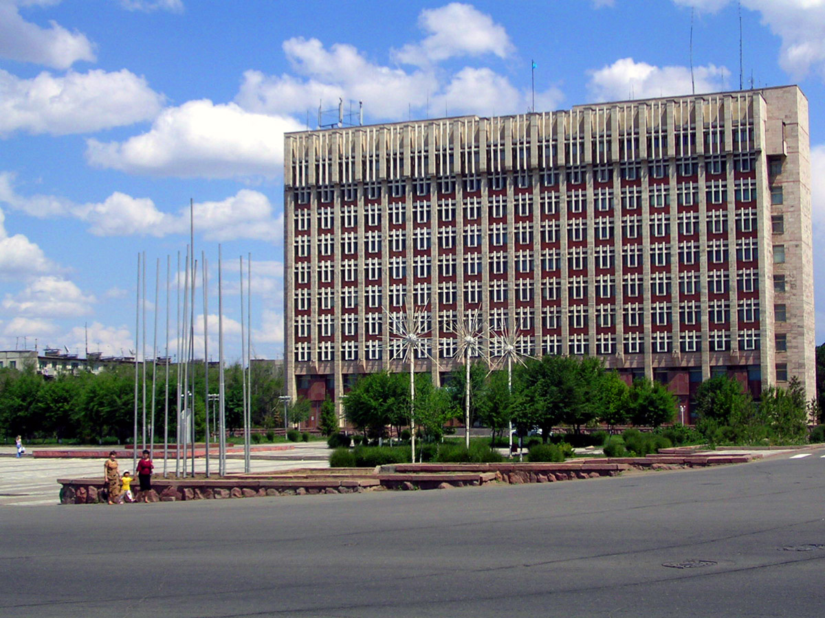
footnotes =Zhezkazgan, also known as Zhezqazghan ( _kk. Жезқазған - "Zhezqazghan", _ru. Джезказган - "Dzhezkazgan"), is a city in
Karagandy Province ,Kazakhstan , on a reservoir of theKara-Kengir River . It has a population of 90,000 (1999 census). Itsurban area includes the neighbouring mining town ofSatpayev , total population 148,700. 55% of the population areKazakhs , 30%Russians , with smaller minorities ofUkrainians ,Germans ,Chechens andKoreans .Geography
Zhezkazgan is situated in the very heart of the Kazakh upland, far away from a big river. It has an extreme
continental climate . The average temperature ranges from 24°C (75°F) in July to -16°C (3°F) in January.History
The city was created in 1938 in connection with the exploitation of the rich local
copper deposits. In 1973 a large mining and metallurgical complex was constructed to the southeast to smelt the copper that until then had been sent elsewhere for processing. Other metal ores mined and processed locally aremanganese ,iron andgold .During the Soviet era, Dzhezkazgan was the site of a
Gulag labor camp ,Kengir , mentioned inAleksandr Solzhenitsyn 's book, "The Gulag Archipelago ", andAlexander Dolgun 's "An American In The Gulag".Industry
Today the city is the headquarters of the copper conglomerate
Kazakhmys , the city's main employer. The company has subsidiaries inChina ,Russia and the UK and is listed on theLondon Stock Exchange .Transport
Although Zhezkazgan is centrally located in the country, it has limited connections to the other regions by rail, except for a rail line to the regional capital city
Karagandy . By road Zhezkazgan is connected to the cities Karagandhy (by class-B european main roadE018 ), Kyzylorda and Arkalyk (both by the European roadE123 ). By air the city is connected to Astana and Almaty from airport.Trivia
The
Baikonur Cosmodrome lies 400 km to the south west and, by tradition, everycosmonaut plants a tree in Zhezkazgan's Sejfulin-Boulevard to mark his safe return from space.Famous residents
Russian actor
Oleg Yankovsky is the most famous of the city's natives.References
External links
* [http://www.jezkazgan.kz City website]
* [http://podrobnosty1.narod.ru/ZHEZ/zhezphoto.htm Photos of the city]* [http://www.photosight.ru/ownpage.php?authorid=145200 Photos of the city (Zhezkazgan' pics)]
* [http://www.panoramio.com/user/439820 Photos of Zhez by loginovskikh]
* [http://wikimapia.org/#lat=47.8017406&lon=67.7117443&z=14&l=1&m=a&v=2 Wikimapia - Карта города Жезказган (снимки Google) - Добавь описание объектов!]

Wikimedia Foundation. 2010.