- Senec, Slovakia
Geobox | Settlement
name = Senec
category = Town
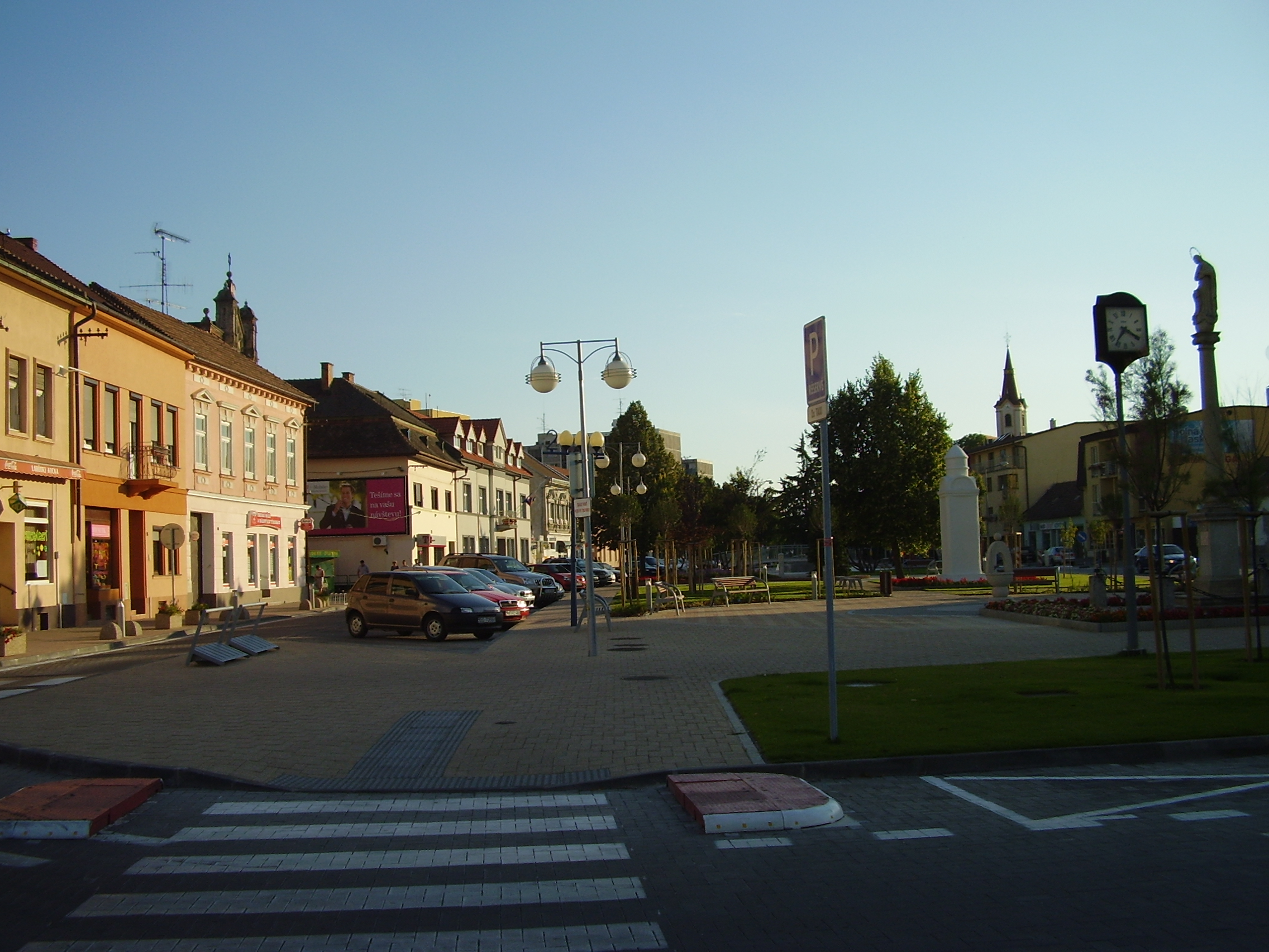
image_caption = Town centre of Senec
symbol =
etymology =
official_name =
motto =
nickname =
country = Slovakia
country_
state =
region = Bratislava
district = Senec
commune =
municipality =
part =
river =
location =
elevation = 137
lat_d = 48
lat_m = 13
lat_s = 08
lat_NS = N
long_d = 17
long_m = 23
long_s = 59
long_EW = E
coordinates_type = region:SK_type:city
highest =
highest_elevation =
highest_lat_d =
highest_long_d =
lowest =
lowest_elevation =
lowest_lat_d =
lowest_long_d =
area = 38.714
area_round = 3
population = 15542
population_date = 2006-12-31
population_density = auto
established = 1252
established_type = First mentioned
mayor = Karol Kvál
timezone =
map_background = Slovakia - background map.png
map_locator = Slovakia
map1 = Bratislava Region - outline map.svg
map1_size = 128
map1_background = Bratislava Region - background map.png
map1_locator = Bratislava Region
commons = Senec
statistics = [http://www.statistics.sk/mosmis/eng/prvav2.jsp?txtUroven410108&lstObec508217&Okruhzaklad MOŠ/MIS]
website = [http://www.senec.eu www.senec.eu]
footnotes =Senec ( _hu. Szenc) is a town in the
Bratislava Region of south-westernSlovakia . It is a well known summer tourism and recreation center. The town is attractive not only because of the proximity ofBratislava , the capital of Slovakia, but also because of the healthy environment and Slnečné jazerá ("Sunny Lakes").History
The town was first mentioned in 1252. It has town privileges since the end of the 15th century. The actual name Senec, used since the first half of the 20th century, is derived from the historic names "Zemch" and "Szempc". A German historic name was "Wartberg". Senec is a capital of a district since 1996 (as it had been between 1949 and 1960).
The historic Church of Saint Nicholaus is located in the southwestern part of the town.
Geography
Senec is situated in Podunajská nížina, on the boundary line of Podunajská rovina and Podunajská pahorkatina. The town is 27 km far from the
Austria n boundary (frontier crossing atKittsee ), and 28 km far from the border withHungary (frontier crossing atRajka ).Vienna (90 km),Budapest (230 km) andPrague (350 km) are the nearest European capitals.http://www.senec.sk/index.php?id=106&lang=1 (Slovak)]The town is located 25 kilometres north-east from Bratislava, 126 m above sea level. It has good access to the motorway D1 from Bratislava to
Žilina , and is situated on the significant 4th Corridor of Trans-European Transport Network - Railway routePrague -Bratislava - Balkans/Orient.The town consists of four boroughs (Senec, Svätý Martin, Červený majer and Horný dvor).
Demographics
In 2001 14,673 permanent residents lived in Senec and the population density was 379/km². Accordingly, Senec ranks at the 55th place among 138 Slovak cities and towns. Following the age, 67.5% inhabitants are in the productive age (men 15-59 years old, women 15-54 years old). 75% occupants acknowledged Slovak nationality and 22% Hungarian nationality. The Roman Catholic Church dominates with 71.7% within the religious structure. The Protestant Church with 8.45% is the second largest Church. The residents without faith represent 12.89%. In education, technical and secondary schools without the General Certificate of Education dominate with 27.91%. In 2001 graduates represented 11.17% share of Senec residents.
ister cities
*
Mosonmagyaróvár ,Hungary
*Parndorf ,Austria
*Senj ,Croatia ee also
*
FC Senec References
External links
*City official municipal website - [http://www.senec.eu new] , [http://www.senec.sk old]


Wikimedia Foundation. 2010.