- Northampton's tunnels
-


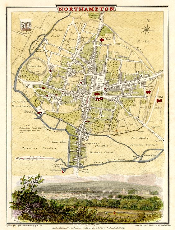
Northampton is a large market town and a local government district in central England upon the River Nene, and the county town of Northamptonshire; its history goes back many centuries with much of the present town's development taking place during medieval times.
Underground
Today underneath the modern streets there still remains a labyrinth of tunnels, along with many cellars and ancient crypts. Many of these cellars are thought to have originated from the church buildings, that today are centred around All Saints Church - for instance underneath the Northampton & County Club in George Row (opposite the church) can be seen some fine vaulted cellars.
Similar tunnels can be seen on the other side of the church at Drum Lane - underneath the Shipmans public house. John Speed's map of Northampton from 1610 show that the church was then the largest landowner in the town.
Clashes took place over the years between the church and the monarchy - such as the banning of markets being held in the churchyards. It is thought that various of these tunnels were established as some sort of escape routes for the clergy for use in times of trouble. The various religious houses in early times were found at all the main 8 compass points - giving rise to a series of radial tunnels heading out from All Saints Church at the centre of town to the various houses.
Some tunnels had a more mundane function - channelling water from the springs on what is now the Racecourse and Springfield into the town centre. These conduits were known respectively as the Great and the Little Conduits.
Northampton Castle was once one of the most important in the country and there is a suggestion that at least one tunnel linked the castle to All Saints Church - and even that such a tunnel might have been utilised by Thomas a Becket in his escape from the castle and the town on his way to France.
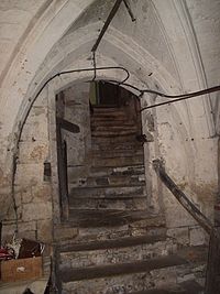 Cellars at the Northampton & County Club
Another theory suggests that the cellars may have been used as a refuge from town fires common in timbered medieval towns such as Northampton - as seen in 1516.
It is also thought that a tunnel may have allowed the nuns of Delapré Abbey, on the outskirts of the town to escape the Battle of Northampton - which raged in their grounds. It is thought that this tunnel ran via All Hallows Church (now known as St Johns) at the bottom of Bridge Street.
References
http://www.northamptonchron.co.uk/news-features/What39s-under-your-feet.3807664.jp
Categories:- Buildings and structures in Northampton
- Tunnels in England
- Tunnels in Northamptonshire

Wikimedia Foundation. 2010.