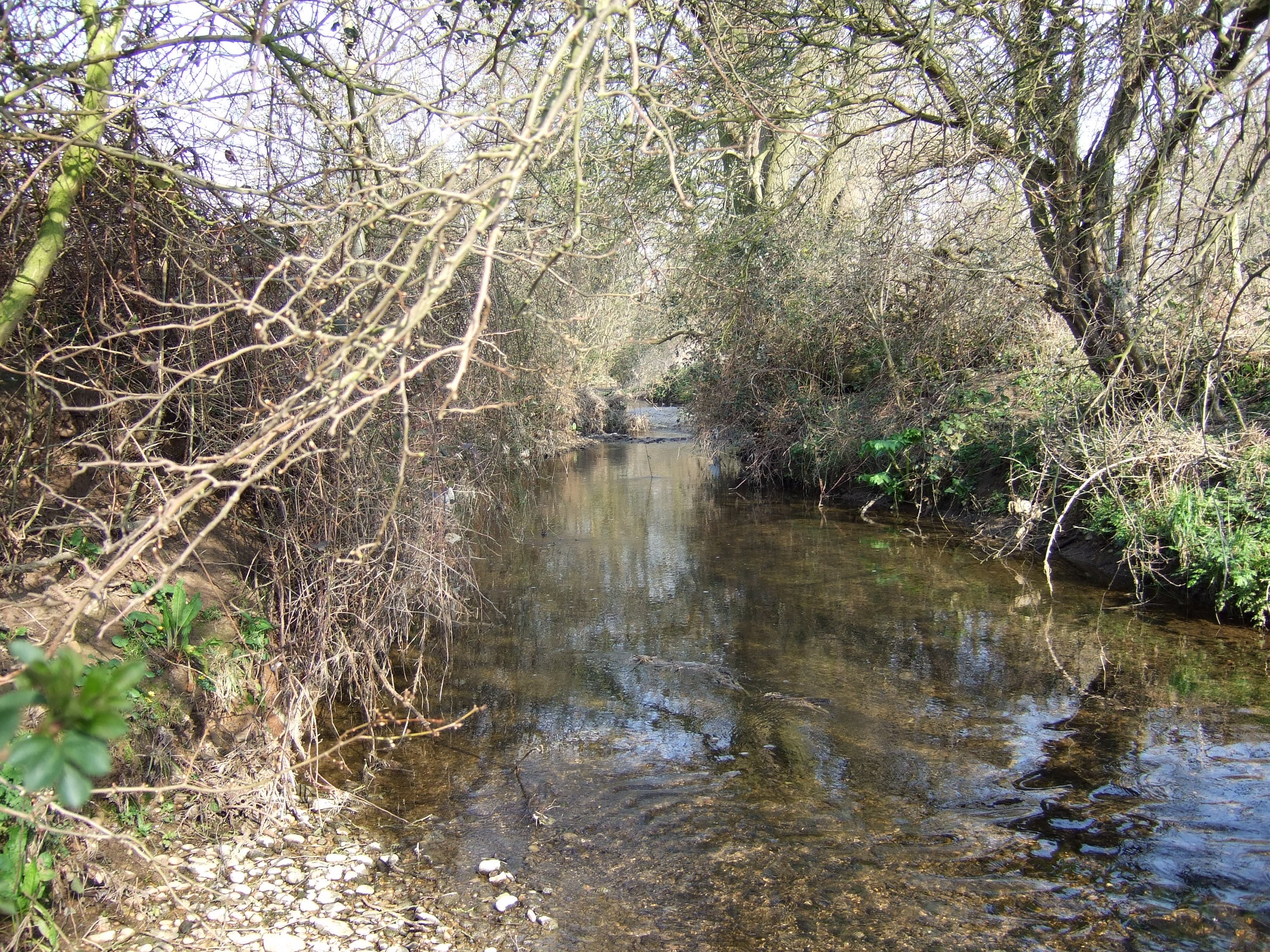
- Kingston Brook
Geobox|River
name = Kingston Brook
native_name =
other_name =
category =
etymology =
nickname =

image_caption = Kingston Brook at East Leake
country = England
state =
region = Leicestershire Nottinghamshire
district =
municipality =
parent =
tributary_left =Sheepwash Brook
tributary_right =
city =
landmark =
source = Old Dalby
source_location = | source_region = | source_country =
source_elevation =
source_lat_d = | source_lat_m = | source_lat_s = | source_lat_NS =
source_long_d = | source_long_m = | source_long_s = | source_long_EW =
source1 =
source1_location = | source1_region = | source1_country =
source1_elevation =
source1_lat_d = | source1_lat_m = | source1_lat_s = | source1_lat_NS =
source1_long_d = | source1_long_m = | source1_long_s = | source1_long_EW =
source_confluence =
source_confluence_location = | source_confluence_region = | source_confluence_country =
source_confluence_elevation =
source_confluence_lat_d = | source_confluence_lat_m = | source_confluence_lat_s = | source_confluence_lat_NS =
source_confluence_long_d = | source_confluence_long_m = | source_confluence_long_s = | source_confluence_long_EW =
mouth = River Soar
mouth_location = | mouth_region = | mouth_country =
mouth_elevation =
mouth_lat_d = | mouth_lat_m = | mouth_lat_s = | mouth_lat_NS =
mouth_long_d = | mouth_long_m = | mouth_long_s = | mouth_long_EW =
length =
width =
depth =
volume =
watershed =
discharge =
discharge_max =
discharge_min =
free = | free_type =
map_caption =
map_background =
map_locator =
map_locator_x =
map_locator_y =
website =
footnotes =Kingston Brook is a small river in central
England . It arises nearOld Dalby ,Leicestershire on the northern edge of the ridge running fromNormanton-on-Soar ,Nottinghamshire toBelvoir, Leicestershire . It runs throughWilloughby on the Wolds , to the southWysall (where it picks up a number of minor tributaries),Costock ,East Leake (where it is joined by Sheepwash Brook),West Leake and empties into theRiver Soar atKingston-on-Soar .
Wikimedia Foundation. 2010.
