- Žarnovica District
Infobox Slovak district
subject_name = Žarnovica District
region_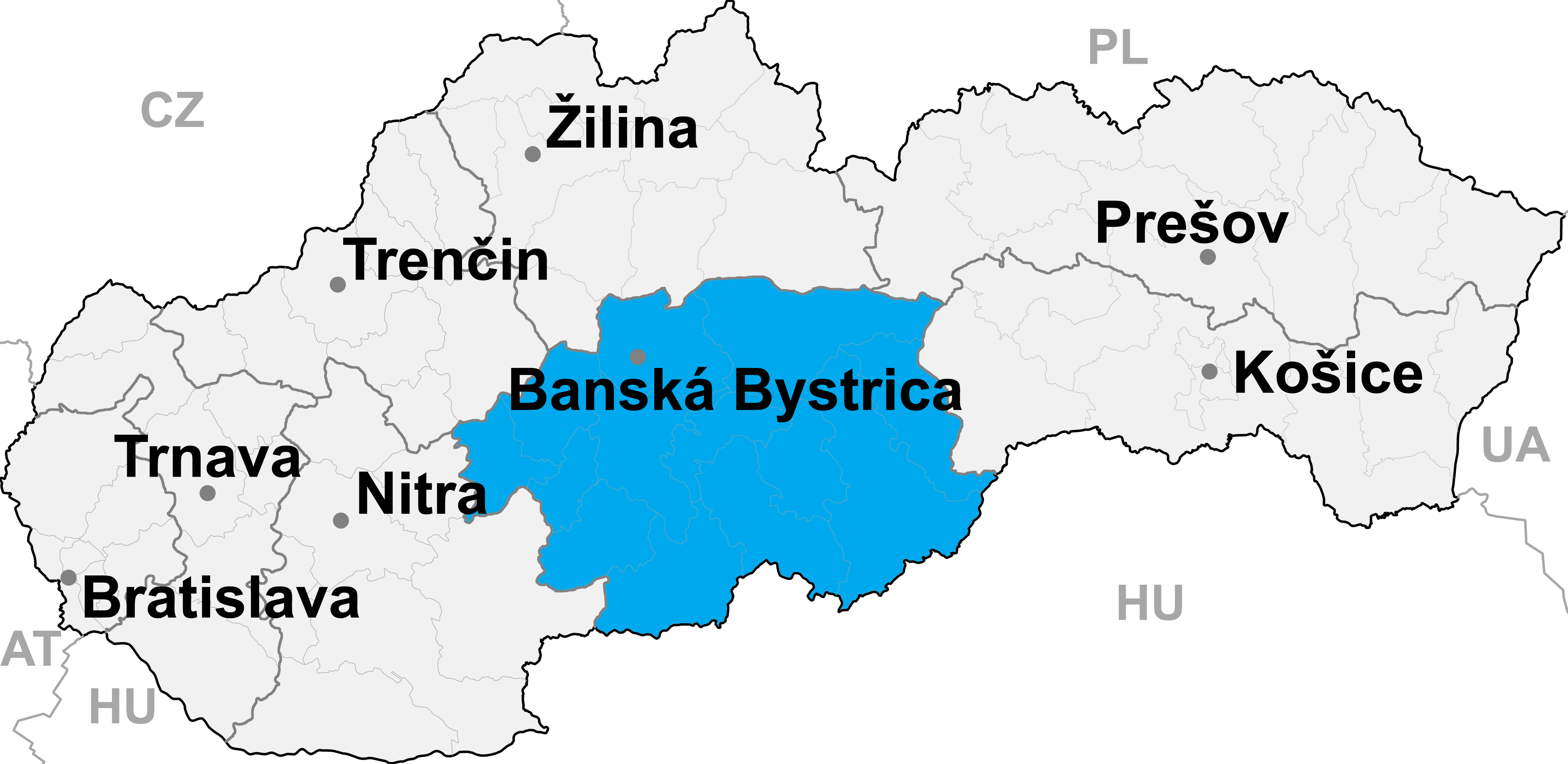
district_
slovak_region =Banská Bystrica Region
population = 27,634 (2001)
prefix = ?
area = 426
car_plate = ZC
image_location = Okres_zarnovica.pngŽarnovica District ("okres Žarnovica") is a district inthe
Banská Bystrica Region of centralSlovakia . Until 1918, the district was mostly part of the Hungarian county ofTekov , apart fromHodruša-Hámre in the east which was part of the county ofHont .Municipalities
*Brehy
*Hodruša-Hámre
*Horné Hámre
*Hrabičov
*Hronský Beňadik
*Kľak
*Malá Lehota
*Nová Baňa
*Orovnica
*Ostrý Grúň
*Píla
*Rudno nad Hronom
*Tekovská Breznica
*Veľká Lehota
*Veľké Pole
*Voznica
*Žarnovica
*Župkov
Wikimedia Foundation. 2010.