River Tay — Infobox River | river name = River Tay |200px caption = Looking upstream (north) along the Tay from the centre of Perth origin = Loch Tay mouth = Firth of Tay basin countries = Scotland length = 120 miles (193 km) elevation = discharge = 170 m³/s … Wikipedia
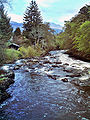
Falls of Dochart — The Falls of Dochart are situated on the River Dochart at Killin in Stirlingshire, Scotland at the western end of Loch Tay. A bridge crosses over the river just as you enter Killin giving a fabulous view of the falls as they cascade down over the … Wikipedia
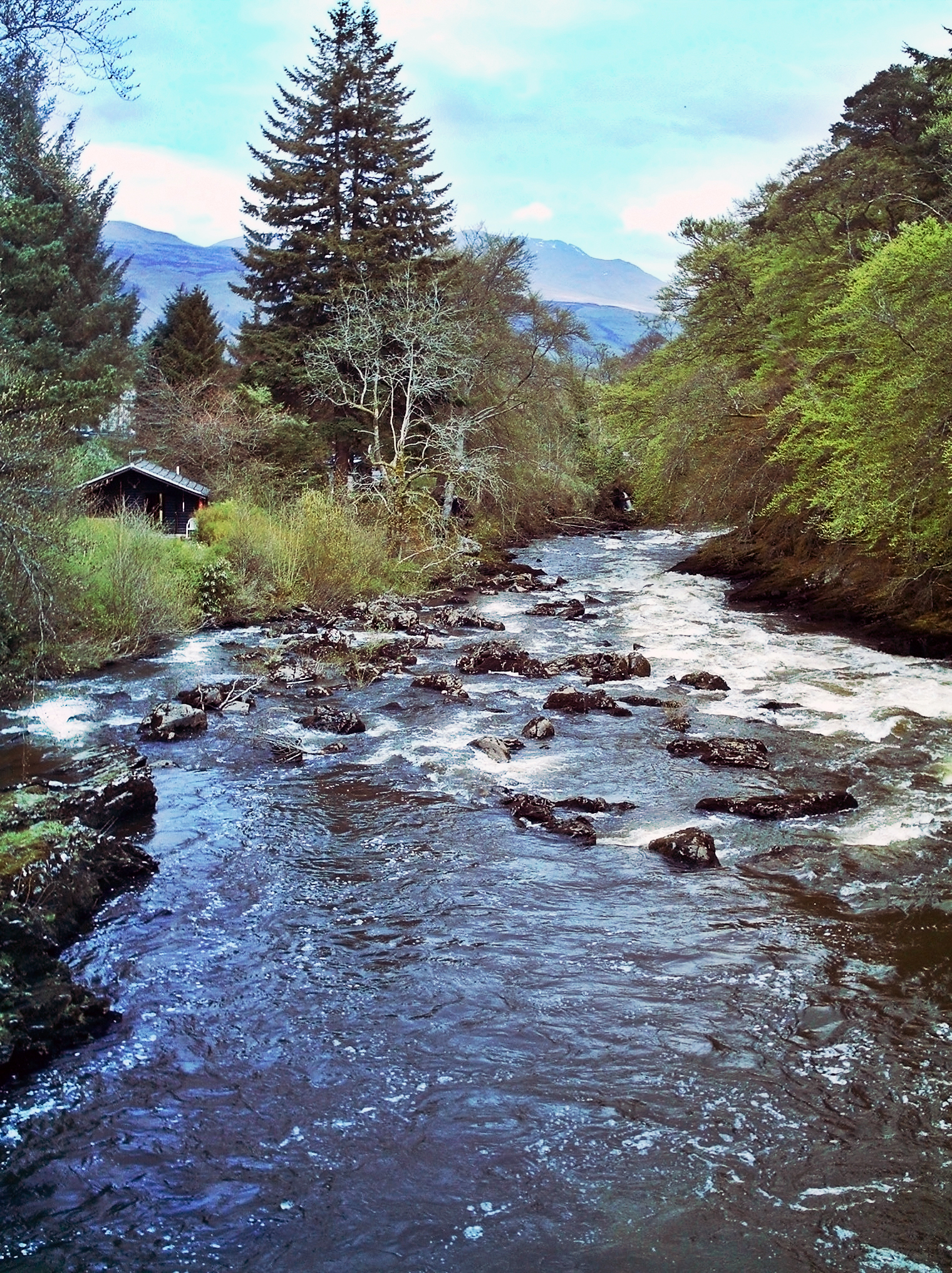
Glen Dochart — Glen Dochart, in Perthshire, is a glen, in the Scottish Highlands, which runs from Crianlarich, where Strath Fillan and Glen Falloch meet, eastwards to Killin, following the course of the River Dochart as it flows through Loch Dochart and Loch… … Wikipedia
Tay, River — Longest river in Scotland. It rises on the northern slopes of Ben Lui and flows through Loch Tay to enter the North Sea below Dundee after a course of 120 mi (193 km). It drains 2,400 sq mi (6,200 sq km), the largest drainage area in Scotland. *… … Universalium
Killin — KILLIN, a parish, in the county of Perth; containing, with part of the late quoad sacra district of Strathfillan, 1702 inhabitants, of whom 426 are in the village, 8 miles (N. by W.) from Lochearnhead. This parish, which is situated within the … A Topographical dictionary of Scotland
Loch Lomond and the Trossachs National Park — Infobox protected area | name = Loch Lomond and The Trossachs National Park iucn category = II caption = Looking eastwards along Loch Katrine in the Loch Lomond and the Trossachs National Park locator x = locator y = location = Scotland, Argyll… … Wikipedia
Weem — WEEM, a parish, in the county of Perth, 1 mile (N. W.) from Aberfeldy; containing, with the hamlets of Balnasuim, Caolvallock, Kirkton of Weem, Balwahanaid, Cragganester, Craggantoul, and Tombreck, and part of the quoad sacra parish of… … A Topographical dictionary of Scotland
Killin — Koordinaten 56° 28′ N, 4° 19′ W … Deutsch Wikipedia
Auchlyne — (Gaelic: Achadh Loinne ) is a small hamlet in Perth and Kinross, Scotland, in the west part of the former county of Perthshire. It is located approximately five miles west of Killin on Loch Tay, off the main A85 road that runs from Perth to… … Wikipedia
Killin — ( Cill Fhinn the White [or Fair] Church in Gaelic ) is a village with about 640 inhabitants situated at the western head of Loch Tay in Stirling (formerly Perthshire), Scotland.The west end of the village is magnificently sited around the scenic… … Wikipedia