- Mokhotlong
-
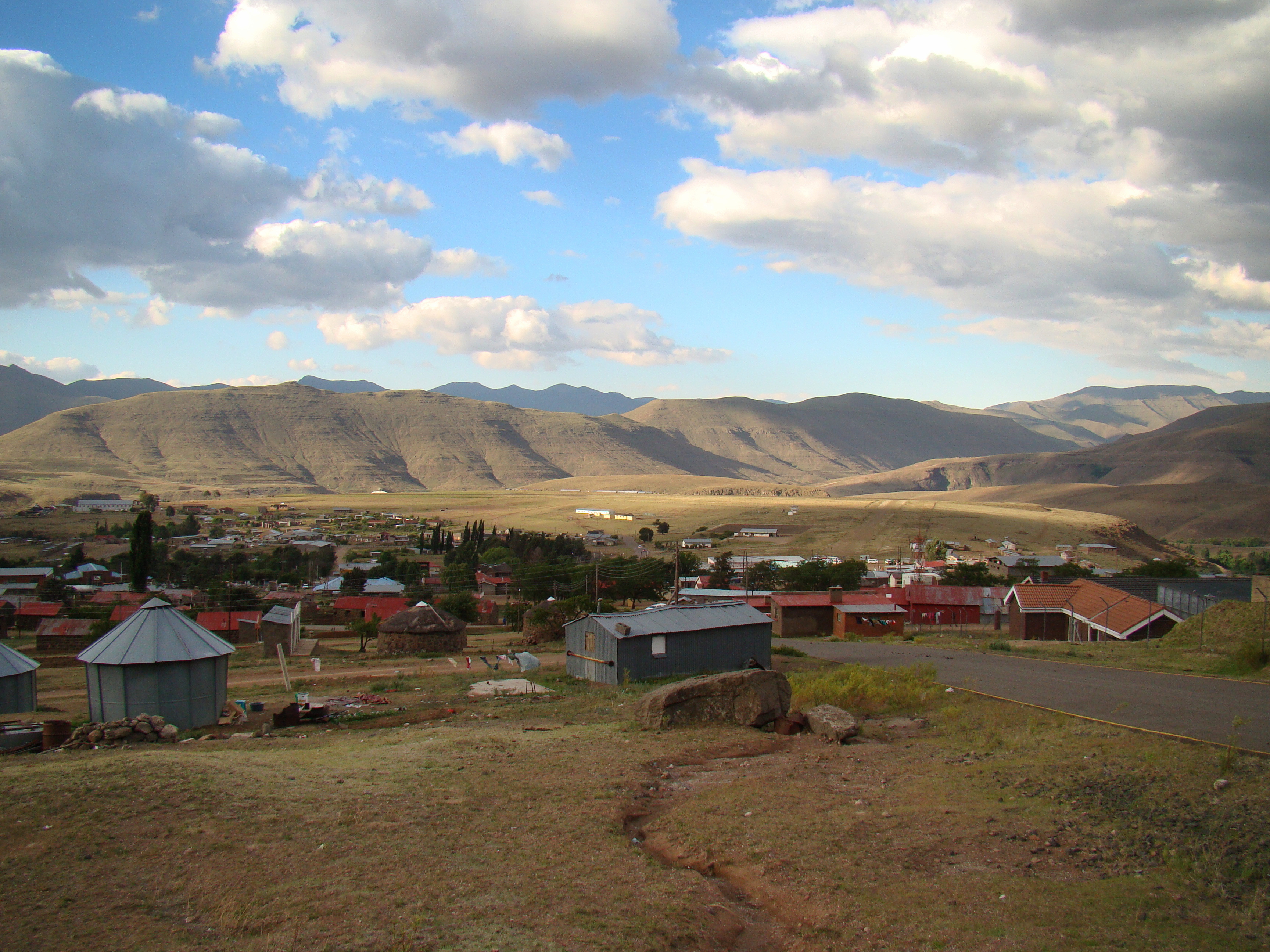
 Mokhotlong centre and airport
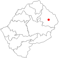 Location of Mokhotlong in Lesotho
Cradled in the moutains of Southern Africa, Mokhotlong is one of Lesotho’s ten districts, located in the northeastern part of the country. It is the first major town along the road from South Africa across the Sani Pass, near the Maloti (Drakensberg in South Africa) Mountains. The name of the city is a word in Sesotho, the language of the people of Lesotho, meaning "Place of the Bald Ibis."
Contents
History
Mokhotlong’s role as a police post first brought people to this part of Lesotho in 1905. It developed into a trading center for the people of the Highlands region. However, it was preserved from major development by its separation from the rest of the country. Not until 1947 was radio contact established with Maseru, the capital city.
In the next few years an air strip was built and a road cleared through town to link Mokhotlong to the rest of Lesotho. Even so, Mokhotlong continued to be outfitted with provisions and supplies by pony trek from Natal, South Africa, via Sani Pass.[1]
Geography
An hour and a half drive north of Sani Pass, Mokhotlong is located 270 km from Maseru and 200 km from Butha-Buthe. The source of the Senqu River, Lesotho’s largest river, is near Mokhotlong, impacting the landscape throughout the town and surrounding district. [2]
Things to Do
The mountain range is host to activities including hiking trails, horse trails, rock climbing, white water rafting, fly and trout fishing, golfing, bird and game watching, safaris, and much more.[3]
In addition to regular activities, Mokhotlong hosts the annual High Altitude Summer Marathon at the end of the year. The route runs through the Maloti Mountains and is characterized by great views of both mountains and villages. At 3000 meters above sea level, if the scenery does not take the runner’s breath away, the steep ascents and descents will. There are also half marathon and 10k events, in addition to the full marathon.
Mokhotlong is also on the route of the annual Roof of Africa Rally, an off-road motorcycle rally. Finally, Mokhotlong is home to the highest-elevated diamond mine in the world, Letseng diamond mine, which can be toured, and is often frequented by local students as part of their course of study. Its diamonds have the highest per carat price of any kimberlite mine, and with the capacity to process more than 5 million tonnes a year and recover about 100,000 carats, it is the seventh largest in the world. Three of their diamonds are among the world’s top twenty rough diamonds.
Economy
Mokhotlong’s economy is driven primarily by imports from China, subsistence farming, and street vending. Geography limits the productivity of the land, though, and HIV/AIDS is ravishing the area. As a result, it is host to many aid organizations. One of these, Touching Tiny Lives (next to the hospital), caters to vulnerable children through provision of nutritional and medical support.
References
- ^ McCrea, Mthembu-Salter, Pinchuck, Reid (1999). South Africa, Lesotho, & Swaziland: The Rough Guide. London: Penguin Books Ltd.. pp. 644–646. ISBN 1858284600.
- ^ Murray, Williams, Everist (1998). South Africa, Lesotho, & Swaziland. Hawthorn, Australia: Lonely Planet. pp. 609–610. ISBN 0864425082.
- ^ "South Africa: Discover Our Drakensberg". http://www.drakensberg-tourism.com/. Retrieved 7/6/2011.
Categories:

Wikimedia Foundation. 2010.