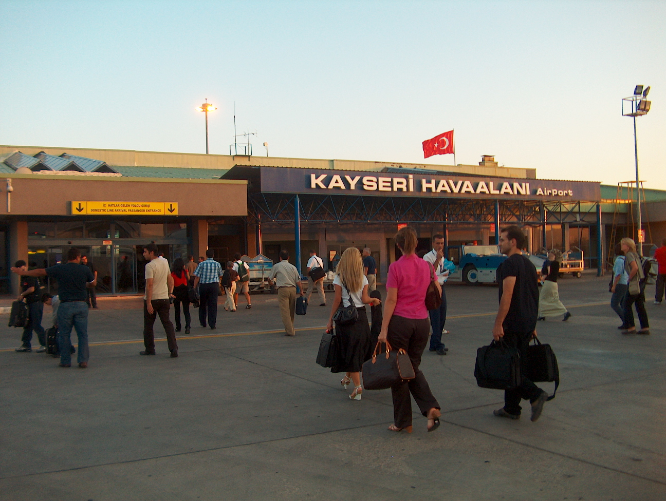
- Erkilet International Airport
Infobox Airport
name = Erkilet Havaalani
nativename = Kayseri Erkilet Airport

image-width = 230px
IATA = ASR
ICAO = LTAU
type = Public / Military
owner =
operator = DHMİ (State Airports Administration) /Turkish Air Force Command
city-served =
location =Kayseri ,Turkey
elevation-f = 3,463
elevation-m = 1,056
coordinates = coord|38|46|13|N|035|29|43|E|region:TR_type:airport
website =
metric-rwy = y
r1-number = 07/25
r1-length-m = 3,000
r1-length-f = 9,841
r1-surface =Concrete
footnotes = Sources: DHMİ tr icon [http://www.dhmi.gov.tr/dosyalar/limanvemeydanlar/kayseri/kayseri.asp "Kayseri Hava Meydanı"] at DHMİ (State Airports Authority)] andDAFIF WAD|LTAU|source=DAFIF ] GCM|LTAU|source=DAFIF ]Erkilet Airport or Kayseri Erkilet Airport ( _tr. Kayseri Erkilet Havaalani) Airport codes|ASR|LTAU is a military
airbase and publicairport located in theKayseri Province ofTurkey .The airport is able to accommodate jets the size of the
Boeing 747 . However, smaller jets like theBoeing 737 andBoeing 757 are more commonly seen there.The current capacity of the airport is 600.000 passengers per year. With the opening of the new international terminal in March 2007, its total capacity will increase up to 1 million passengers per year.
A number of
cargo airline s operate to and from "Erkilet". As a passenger airport, "Erkilet" serves a culturally and historically rich part of Turkey.Airlines and destinations
*
Blue Wings (Düsseldorf)
*Hamburg International (Friedrichshafen, Hamburg, Munich)
*Inter Airlines (Istanbul-Atatürk)
*Onur Air (Amsterdam, Copenhagen, İstanbul-Atatürk)
*Pegasus Airlines (Dusseldorf, İstanbul-Sabiha Gökçen, Stuttgart, Vienna)
*SunExpress (İzmir)
*Tarhan Tower Airlines (Istanbul-Atatürk)
*Turkish Airlines (Amsterdam, Cologne, Copenhagen, Düsseldorf, Frankfurt, İstanbul-Atatürk, Vienna)
**Turkish Airlines operated bySunExpress (İzmir)References
External links
*
*
Wikimedia Foundation. 2010.
