- Mosquito Creek (Iowa)
-
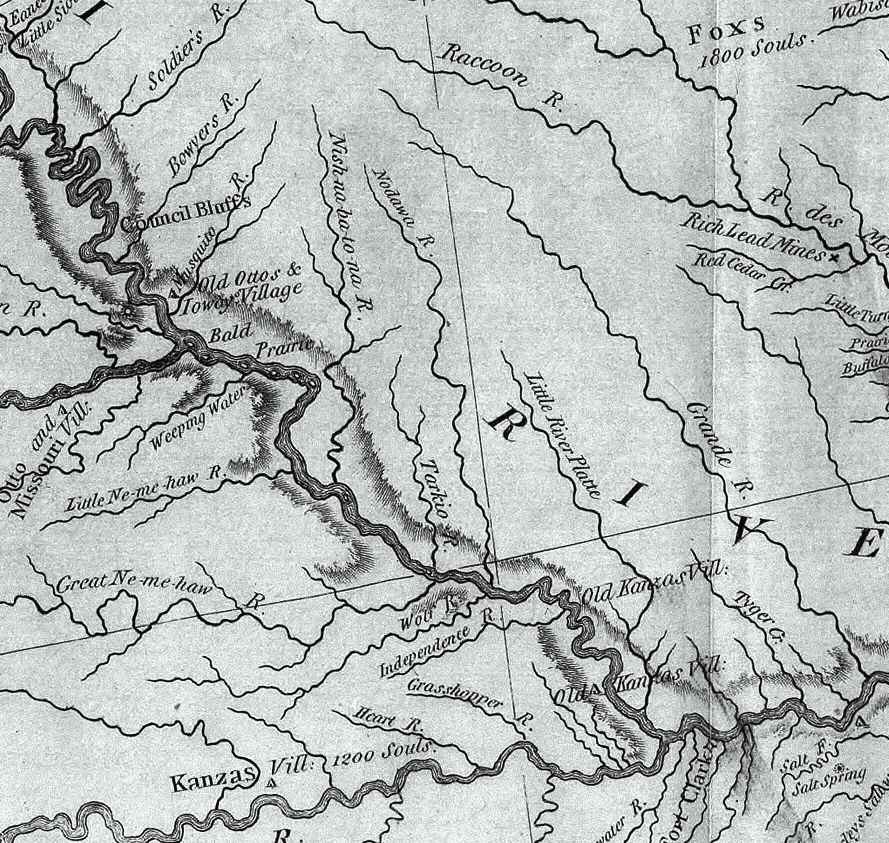
Mosquito Creek River 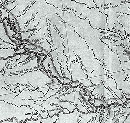 This excerpt from the Lewis and Clark map of 1814 shows the rivers of southwest Iowa, southeast Nebraska, and northwest Missouri. "Musquito River" is seen at the upper left.
Country US State Iowa Source - coordinates 41°48′18″N 95°22′44″W / 41.805°N 95.379°W Mouth - coordinates 41°10′34″N 95°50′25″W / 41.176°N 95.8402°W Mosquito Creek, about 60 mi. (97 km) long, is a tributary of the Missouri River in southwest Iowa in the United States. It rises near Earling, in Shelby County, and flows in a generally southwesterly direction, meeting the Missouri approximately 5 mi. (8 km) downstream of Council Bluffs.
See also
- List of Iowa rivers
External links
Categories:- Iowa geography stubs
- Geography of Pottawattamie County, Iowa
- Rivers of Iowa
- Geography of Shelby County, Iowa
- Tributaries of the Missouri River
Wikimedia Foundation. 2010.