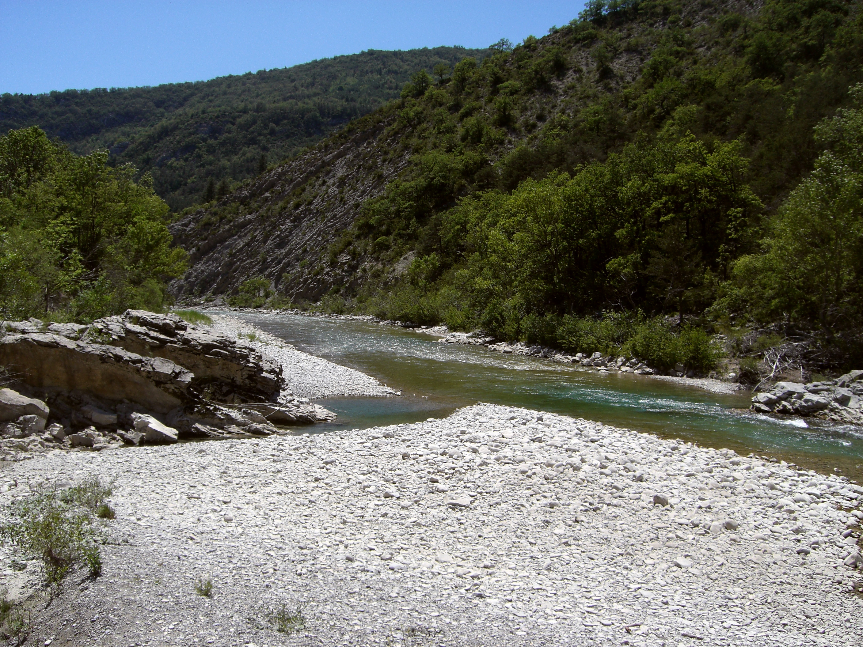
- Buëch
Infobox River | river_name = Buëch

caption = Buëch River
origin =Dauphiné Alps
mouth =Durance
coord|44|12|5|N|5|56|35|E|name=Durance-Buëch|display=inline,title
basin_countries =France
length = 85 km
elevation =
discharge =
watershed = 1,490 km²The Buëch is ariver in southeasternFrance , right tributary to theDurance . Its source is in theDauphiné Alps , near theGrand Ferrand peak. It flows generally southward, for most of its course in theHautes-Alpes département. It flows into the Durance inSisteron .Départements and towns along the Buëch include:
*Drôme :
**Lus-la-Croix-Haute
*Hautes-Alpes :
**Aspres-sur-Buëch
** Serres
**Laragne-Montéglin
*Alpes-de-Haute-Provence :
**Mison
**Sisteron References
*http://www.geoportail.fr
* [http://sandre.eaufrance.fr/app/chainage/courdo/htm/X10-0400.php?cg=X10-0400 The Buëch at the Sandre database]
Wikimedia Foundation. 2010.
