- Mebonden
-
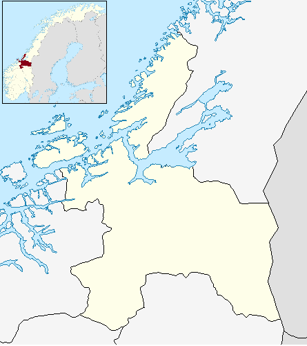
Mebonden — Village — Location in Sør-Trøndelag
 Mebonden
Coordinates: 63°13′44″N 11°01′52″E / 63.22889°N 11.03111°ECoordinates: 63°13′44″N 11°01′52″E / 63.22889°N 11.03111°E Country Norway Region Trøndelag County Sør-Trøndelag Municipality Selbu Area[1] – Total 1.26 km2 (0.5 sq mi) Elevation[2] 180 m (591 ft) Population (2009)[1] – Total 867 – Density 688/km2 (1,781.9/sq mi) Time zone CET (UTC+01:00) – Summer (DST) CEST (UTC+02:00) Post Code 7580 Selbu Mebonden is a village that is the administrative centre of the municipality of Selbu in Sør-Trøndelag county, Norway. It is located at the eastern end of the lake Selbusjøen at the mouth of the Nea River.
The villages of Vikvarvet, Hyttbakken, Innbygda, and Trøa surround the urban village of Mebonden. The 1.26-square-kilometre (310-acre) village of Mebonden has a population (2009) of 867. The population density of Mebonden is 688 inhabitants per square kilometre (1,780 /sq mi).[1]
The 12th century Selbu Church is located in Mebonden.
References
- ^ a b c Statistisk sentralbyrå (1 January 2009). "Urban settlements. Population and area, by municipality.". http://www.ssb.no/beftett_en/tab-2009-06-16-01-en.html.
- ^ "Mebonden" (in Norwegian). yr.no. http://www.yr.no/place/Norway/S%C3%B8r-Tr%C3%B8ndelag/Selbu/Mebonden/. Retrieved 2011-03-04.
Categories:- Selbu
- Villages in Sør-Trøndelag
- Sør-Trøndelag geography stubs
Wikimedia Foundation. 2010.