Cosamaloapan, Veracruz

Cosamaloapan, Veracruz

Cosamaloapan is a municipality located in the plains of the Sotavento zone in the central zone of the State of Veracruz, about 240 km from state capital Xalapa. It has a surface of 323.26 km2. It is located at 18°22′N 95°48′W / 18.367°N 95.8°W / 18.367; -95.8.

The poet Manuel Carpio was born in Cosamaloapan. Cosamaloapan serves as the municipal seat of the municipality of Cosamaloapan de Carpio, which was so renamed in honour of its most famous son in 1918.

Contents

Geographic Limits

Papaloapan river in front of Cosamaloapan city

The municipality of Cosamaloapan is delimited to the north by Tierra Blanca and Ixmatlahuacan to the south by Chacaltianguis and Tuxtilla to the east by Carlos A. Carrillo and to the west by Tres Valles.[1] It is watered by small creeks of the river Papaloapan.

Agriculture

It produces principally maize, beans, sugarcane, watermelon and green chile.

Celebrations

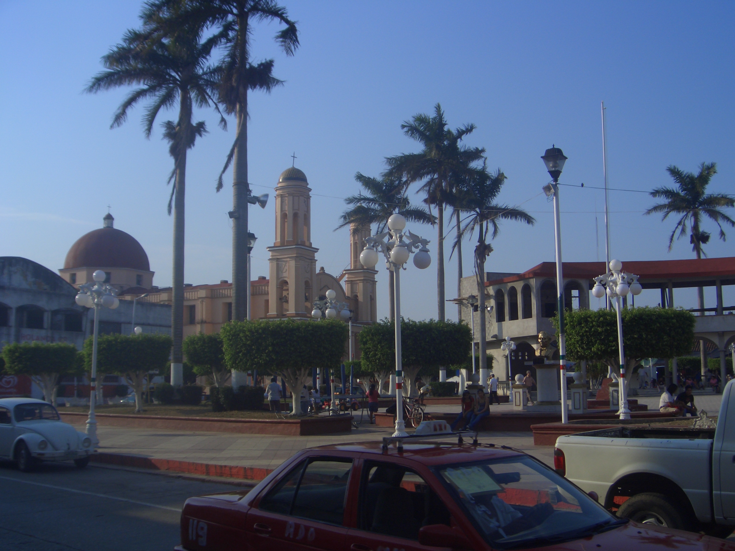
Marcos Carrillo Herrera Park

In Cosamaloapan, in May takes place the celebration in honor of the Virgen de la Concepción, Patron of the town, and in December takes place the celebration in honor of the Virgen de Guadalupe.

Weather

The weather in Cosamaloapan is warm and wet all year with rains in summer and autumn.

References

External links

Coordinates: 18°22′N 95°48′W / 18.367°N 95.8°W / 18.367; -95.8


Wikimedia Foundation. 2010.

Игры ⚽ Поможем написать реферат

Look at other dictionaries:

  • Cosamaloapan (Veracruz) — Saltar a navegación, búsqueda Municipio de Cosamaloapan de Carpio Escudo …   Wikipedia Español

  • Cosamaloapan de Carpio — Saltar a navegación, búsqueda Cosamaloapan de Carpio es una pintoresca ciudad mexicana, cabecera municipal ubicada en el estado de Veracruz Llave ubicada a nivel del mar, en la margen izquierda del Río Papaloapan. Su nombre deriva del náhuatl: en …   Wikipedia Español

  • Cosamaloapan — ▪ Mexico in full  Cosamaloapan de Carpio         city, southern Veracruz estado (state), south central Mexico. It lies at 315 feet (96 m) above sea level in the Papaloapan River valley in the Gulf lowlands and is 91 miles (147 km) southeast of… …   Universalium

  • Broncos de Cosamaloapan — Saltar a navegación, búsqueda Cosamaloapan Nombre Completo Club de Béisbol Broncos de Cosamaloapan Apodo(s) Broncos Mascota …   Wikipedia Español

  • Amatitlán (Veracruz) — Saltar a navegación, búsqueda Para otros usos de este término, véase Amatitlán. Municipio de Amatitlán …   Wikipedia Español

  • Anexo:Municipios de Veracruz — División de regiones administrativas de Veracruz.[1 …   Wikipedia Español

  • Carlos A. Carrillo (Veracruz) — Saltar a navegación, búsqueda Municipio de Carlos A. Carrillo Escudo …   Wikipedia Español

  • Municipios de Veracruz — Anexo:Municipios de Veracruz Saltar a navegación, búsqueda El estado mexicano de Veracruz de Ignacio de la Llave, está conformado por 212 municipios, agrupados en 10 regiones administrativas. Municipios de Veracruz Clave Municipio Cabecera… …   Wikipedia Español

  • Municipalities of Veracruz — The Mexican state of Veracruz is subdivided into 212 municipalities (municipios): INEGI code Municipality Municipal Seat 001 Acajete Acajete 002 Acatlán Acatlán …   Wikipedia

  • Historia de Veracruz de Ignacio de la Llave — Un wikipedista está trabajando actualmente en este artículo o sección. Es posible que a causa de ello haya lagunas de contenido o deficiencias de formato. Si quieres, puedes ayudar y editar, pero por favor: antes de realizar correcciones mayores… …   Wikipedia Español

Share the article and excerpts

Direct link
Do a right-click on the link above
and select “Copy Link”