Sleeuwijk

Sleeuwijk

Dutch town locator maps
mun_


town_


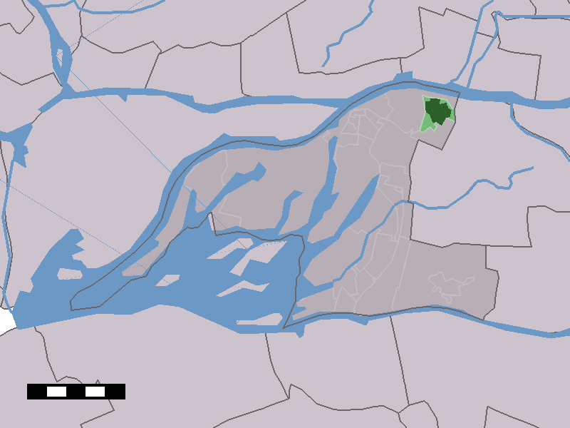
caption = The town centre (dark green) and the statistical district (light green) of Sleeuwijk in the municipality of Werkendam.

Sleeuwijk (coord|51|49|N|4|57|E|type:city(4649)) is a town in the Dutch province of North Brabant. It is a part of the municipality of Werkendam, and lies about 3 km southwest of Gorinchem.

The town of Sleeuwijk has about 6,000 inhabitants. The built-up area of the town was 1.2 km², and contained 1,647 residences in 2001.Statistics Netherlands (CBS), [http://www.cbs.nl/nl-NL/menu/themas/milieu-natuur-ruimte/ruimte/publicaties/cartografie-geografie/geografische-data/2001-bevolkingskernen-in-nederland.htm "Bevolkingskernen in Nederland 2001"] . (Statistics are for the continuous built-up area).] .Statistics Netherlands (CBS), [http://statline.cbs.nl/ "Statline: Kerncijfers wijken en buurten 2003-2005"] . As of January 1, 2005.]

References


Wikimedia Foundation. 2010.

Игры ⚽ Нужно сделать НИР?

Look at other dictionaries:

  • Sleeuwijk — 51° 49′ 00″ N 4° 57′ 00″ E / 51.81666667, 4.95 …   Wikipédia en Français

  • De Werken En Sleeuwijk — Province Brabant Septentrional Date de création avant 1800 Date de suppression 1950 Fusionnée dans Werkendam Pays Ba …   Wikipédia en Français

  • De werken en sleeuwijk — Province Brabant Septentrional Date de création avant 1800 Date de suppression 1950 Fusionnée dans Werkendam Pays Ba …   Wikipédia en Français

  • De Werken en Sleeuwijk — Ancienne commune des Pays Bas Histoire Administration Pays  P …   Wikipédia en Français

  • De Werken en Sleeuwijk — was a municipality in the Dutch province of North Brabant. It covered the village of Sleeuwijk, and the small river De Werken. The municipality existed until 1950, when it became part of Werkendam.[1] References ^ Ad van der Meer and Onno… …   Wikipedia

  • Werkendam — Infobox Settlement official name = Werkendam mapsize = 280px subdivision type = Country subdivision name = Netherlands subdivision type1 = Province subdivision name1 = North Brabant area footnotes = (2006) area total km2 = 121.73 area land km2 =… …   Wikipedia

  • Liste aller niederländischen Gemeinden M–Z — In diese Liste werden alle Gemeinden, die auf dem Gebiet der jetzigen Niederlande bestehen oder bestanden haben, aufgenommen. Die Liste beginnt im Jahr 1805/10. Vor 1830 können die Angaben unvollständig sein. Kleinere Grenzkorrekturen oder… …   Deutsch Wikipedia

  • Nieuwendijk (Brabant-Septentrional) — 51° 46′ 00″ N 4° 55′ 00″ E / 51.76666667, 4.91666667 …   Wikipédia en Français

  • Werkendam — Héraldique …   Wikipédia en Français

  • Boven Merwede — The Boven Merwede is a stretch of river in the Netherlands.The Afgedamde Maas river joins the Waal at Woudrichem to form the Boven Merwede, which at Hardinxveld Giessendam splits into the Beneden Merwede river on the right and the Nieuwe Merwede… …   Wikipedia

Share the article and excerpts

Direct link
Do a right-click on the link above
and select “Copy Link”