- Breklenkamp
Dutch town locator maps
mun_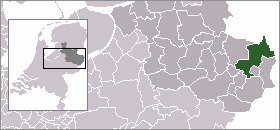
town_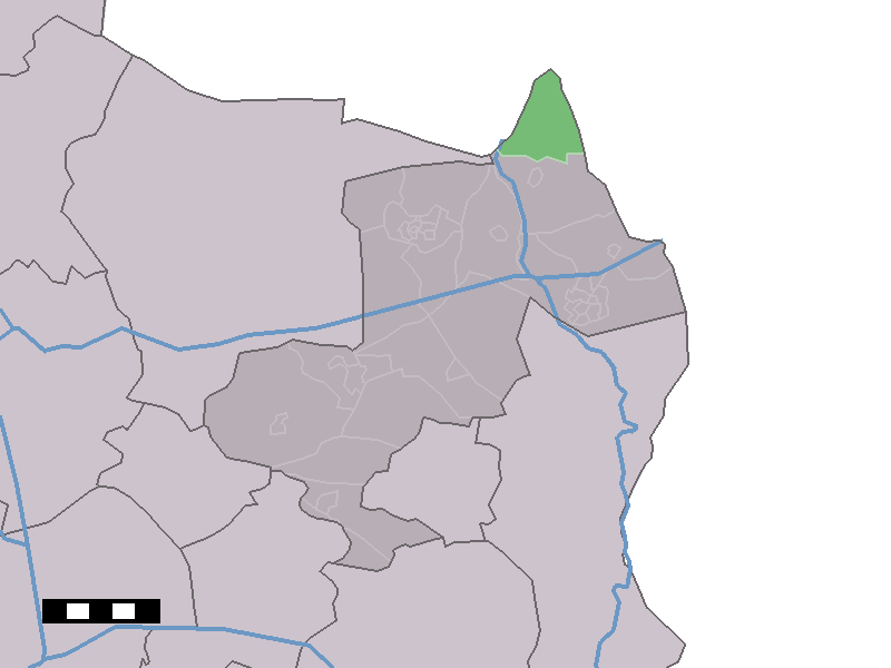
caption = Breklenkamp in the municipality of Dinkelland.Breklenkamp (coord|52|27|N|6|59|E|type:city(200)) is a town in the Dutch province of
Overijssel . It is a part of the municipality ofDinkelland , and lies about 16 km north ofOldenzaal .The statistical area "Breklenkamp", which also can include the surrounding countryside, has a population of around 200.Statistics Netherlands (CBS), [http://statline.cbs.nl/ "Statline: Kerncijfers wijken en buurten 2003-2005"] . As of
January 1 ,2005 .]References
Wikimedia Foundation. 2010.