- Brandwijk
Dutch town locator maps
mun_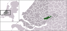
town_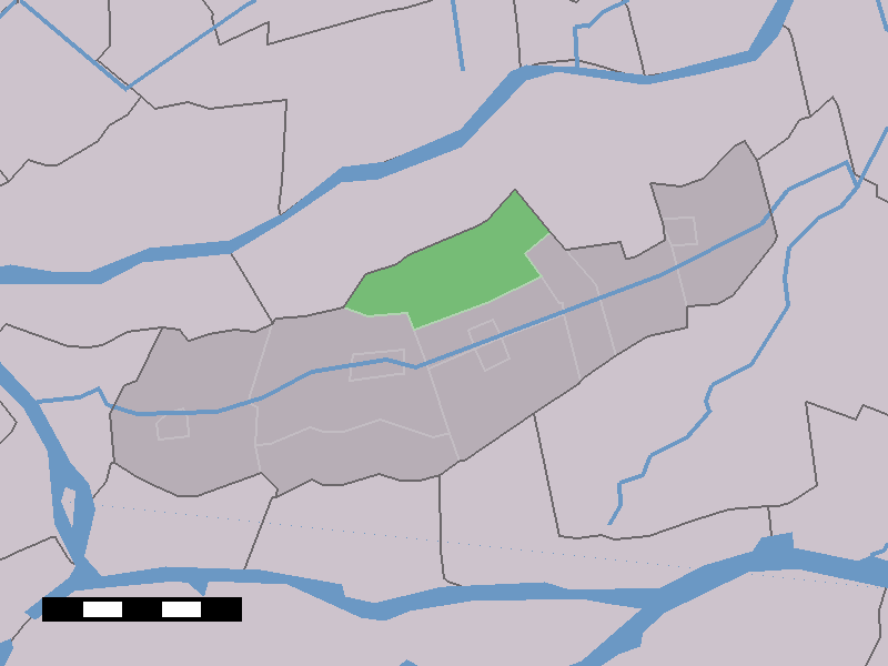
caption = Brandwijk in the municipality of Graafstroom.Brandwijk (coord|51|53|N|4|49|E|type:city(290)) is a small village in the Dutch province of
South Holland . It is a part of the municipality ofGraafstroom , and lies about 13 km west ofGorinchem .The statistical area "Brandwijk", which also includes the surrounding countryside, has a population of around 290.Statistics Netherlands (CBS), [http://statline.cbs.nl/ "Statline: Kerncijfers wijken en buurten 2003-2005"] . As of
January 1 ,2005 .]Brandwijk was a separate municipality between 1817 and 1986, when it became part of Graafstroom. [Ad van der Meer and Onno Boonstra, "Repertorium van Nederlandse gemeenten", KNAW, 2006. [http://www.knaw.nl/cfdata/publicaties/detail.cfm?boeken__ordernr=20061061] ]
References
External links
* [http://www.kuijsten.de/atlas/zh/brandwijk.html Map of the former municipality in 1868]
* [http://brandwijk2007.hyves.nl/ brandwijk hyves :-)]
Wikimedia Foundation. 2010.