- Sint Maartensdijk
Dutch town locator maps
mun_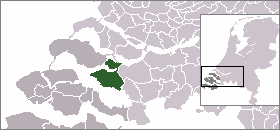
town_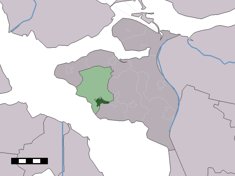
caption = The town centre (dark green) and the statistical district (light green) of Sint Maartensdijk in the municipality of Tholen.Sint Maartensdijk (coord|51|33|N|4|5|E|type:city(3132)) is a town in the Dutch province of
Zeeland . It is a part of the municipality ofTholen , and lies about 16 km west ofBergen op Zoom .Sint Maartensdijk was a separate municipality until 1971, when it was merged with
Tholen . [Ad van der Meer and Onno Boonstra, "Repertorium van Nederlandse gemeenten", KNAW, 2006. [http://www.knaw.nl/cfdata/publicaties/detail.cfm?boeken__ordernr=20061061] ]In 2001, the town of Sint Maartensdijk had 3132 inhabitants. The built-up area of the town was 1.0 km², and contained 1341 residences.Statistics Netherlands (CBS), "Bevolkingskernen in Nederland 2001" [http://www.cbs.nl/nl-NL/menu/themas/milieu-natuur-ruimte/ruimte/publicaties/cartografie-geografie/geografische-data/2001-bevolkingskernen-in-nederland.htm] . (Statistics are for the continuous built-up area).] The statistical area "Sint Maartensdijk", which also can include the surrounding countryside, has a population of around 3650.Statistics Netherlands (CBS), "Statline: Kerncijfers wijken en buurten 2003-2005" [http://statline.cbs.nl/] . As of
January 1 ,2005 .]References
External links
* [http://www.kuijsten.de/atlas/ze/stmaartensdijk.html Map of the former municipality in 1868]
Wikimedia Foundation. 2010.