- Ridderbuurt
Dutch town locator maps
mun_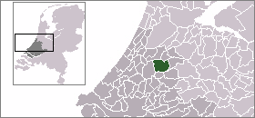
town_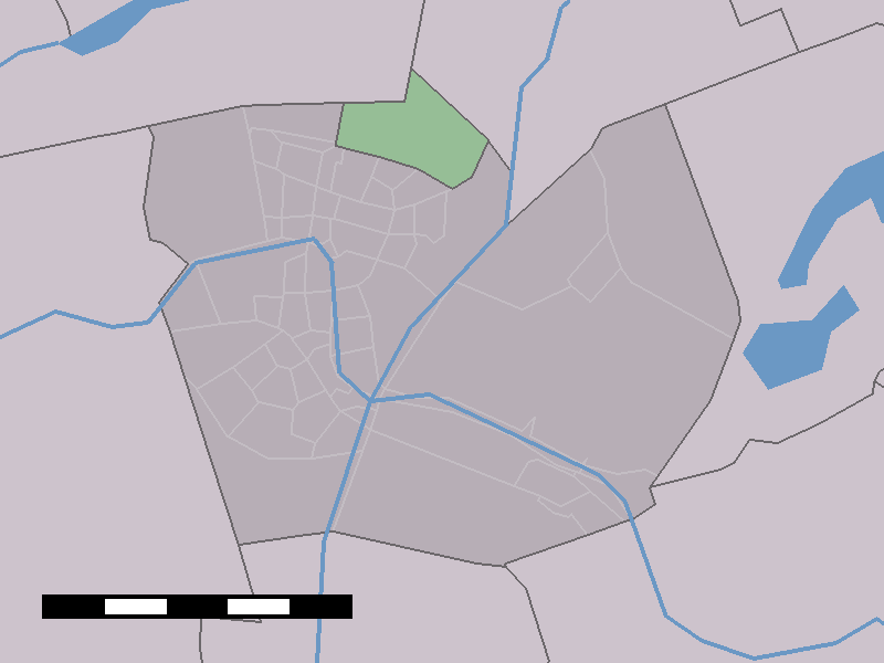
caption = Ridderbuurt in the municipality of Alphen aan den Rijn.Ridderbuurt (coord|52|9|N|4|41|E|type:city(120)) is a town in the Dutch province of
South Holland . It is a part of the municipality ofAlphen aan den Rijn , and lies about 2 km north of Alphen aan den Rijn.The statistical area "Ridderbuurt", which also can include the surrounding countryside, has a population of around 120.Statistics Netherlands (CBS), "Gemeente Op Maat 2004: Alphen aan den Rijn" [http://www.cbs.nl/nl-NL/menu/themas/nederland-regionaal/nederland-regionaal/publicaties/gemeente-op-maat/2004/alfabet/a/default.htm] .]
References
For more information you can visit the homepage of the Ridderbuurt, http://www.deridderbuurt.nl.With around 600 photographs and a lot of stories of its citizens.
Wikimedia Foundation. 2010.