- Pyhä-Luosto National Park
Geobox|Protected Area
name = Pyhä-Luosto National Park
native_name = Pyhä-Luoston kansallispuisto
other_name =
other_name1 =
category_local = National Park of Finland
category_iucn = II

image_size =
image_caption = Isokuru in March 2006
country = Finland
country_
state =
state_type =
state_
region = Lapland
region_type = Province
location =
lat_d = 67
lat_m = 03
lat_s = 59
lat_NS = N
long_d = 26
long_m = 58
long_s = 25
long_EW = E
elevation =
biome =
biome_share =
biome1 =
biome1_share =
geology =
geology1 =
plant =
plant1 =
animal =
animal1 =
area = 142
area1 =
area1_type =
length =
length_orientation =
width =
width_orientation =
highest =
highest location =
highest_lat_d =
highest_lat_m =
highest_lat_s =
highest_lat_NS =
highest_long_d =
highest_long_m =
highest_long_s =
highest_long_EW =
highest_elevation =
lowest =
lowest_location =
lowest_lat_d =
lowest_lat_m =
lowest_lat_s =
lowest_lat_NS =
lowest_long_d =
lowest_long_m =
lowest_long_s =
lowest_long_EW =
lowest_elevation =
established_type = Established
established = 2005
established1_type =
established1 =
management_body =Metsähallitus
management_location =
management_lat_d =
management_lat_m =
management_lat_s =
management_lat_NS =
management_long_d =
management_long_m =
management_long_s =
management_long_EW =
management_elevation =
visitation = 95000
visitation_date = 2005
free_type =
free =
free1_type =
free1 =
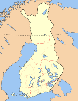
map_locator_x = 53.8
map_locator_y = 38.8
map_size =
map_caption =
map_first =
website = http://www.outdoors.fi/pyha-luostonpPyhä-Luosto National Park ("Pyhä-Luoston kansallispuisto") is a
national park inLapland Province ,Finland . It was established in 2005 when Finland's oldest national park, Pyhätunturi National Park (established in 1938) was joined to Luosto. This makes Pyhä-Luosto Finland's oldest but at the same time newest national park. The new park covers convert|142|km2|sqmi|0.The park's base is formed by Finland's southernmost, 12-peak "tunturi" line. The tunturis are remnants of Alp-like mountains of 2 billion years of age. 200-year-old pine tree forests grow on the hills. The highest tunturis are Noitatunturi, convert|540|m|ft|0|abbr=on, and Ukko-Luosto, convert|514|m|ft|0|abbr=on.
See also
*
List of national parks of Finland
*Protected areas of Finland External links
* [http://www.outdoors.fi/pyha-luostonp Outdoors.fi – Pyhä-Luosto National Park]

Wikimedia Foundation. 2010.