- Vlasotince
Infobox Serbia municipality
native_name = Власотинце|official_name=Vlasotince
image_shield =
district = Jablanica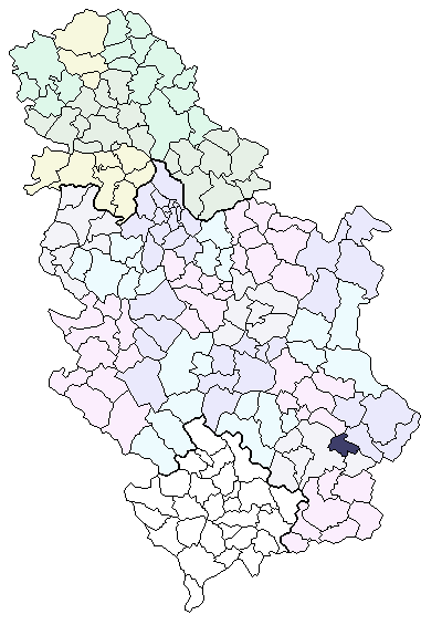
mayor = Boško Stančić
area_km2 = 308
population_total = 16212 | mpop=33312 | latd = 42| latm = 58| longd = 22| longm = 08
code = 16
settlements = 48
plates = LE
postal_code = 16210
website = www.vlasotince.org.yuVlasotince (
Serbian Cyrillic : Власотинце) is town and municipality in south-eastSerbia . The municipality has 33,312 inhabitants, while the town itself has a population of 16,212 (2002 census).History
According to Turkish records, the town existed in the 15th century as a Turkish administrative center. After the Turks left Serbia locals started growing winegrapes as a kind of complementary business to their building activities. They made Vlasotince number one wine region in former
Yugoslavia and furthermore the biggest wine exporter in theBalkans . The craftmenship and building skills of workers and builders from this region were very much appreciated in former Yugoslavia and its surrounding neighbours until the recent Balkan Wars.Demographics
Ethnic groups in the municipality (2002 census):
*Serbs = 32,858
*Roma = 277
*others.Municipal settlements
Vlasotince municipality consists of Vlasotince (town) and the following villages surrounding it:
* Aleksine
* Batulovce
* Boljare
* Borin Dol
* Brezovica
* Crna Bara (Vlasotince)
* Crnatovo
* Gložane
* Gornja Lopušnja
* Gornja Lomnica
* Gornji Dejan
* Gornji Orah
* Gornji Prisjan
* Gradište
* Gunjetina
* Donje Gare
* Donji Dejan
* Donja Lopušnja
* Dobroviš
* Donja Lomnica
* Donji Prisjan
* Jastrebac
* Javorje
* Jakovljevo
* Komarica
* Konopnica
* Kozilo
* Kruševica
* Kukavica (Vlasotince)
* Ladovica
* Lipovica
* Orašje
* Prilepac
* Pržojne
* Ravna Gora (Vlasotince)
* Ravni Del
* Samarnica
* Šišava
* Skrapež
* Sredor
* Stajkovce
* Svođe
* Zlatićevoee also
*
Subdivisions of Serbia Gallery
External links
* [http://www.vlasotince.net/ Vlasotince municipality official website]
* [http://www.e-vlasotince.info/ Vlasotince - web design community]
* [http://www.rosulja.vlasotince.com/ Vlasotince - Wireless free community network]
Wikimedia Foundation. 2010.