- Sandy Hill
Infobox City
official_name = Sandy Hill
nickname =
motto =
imagesize =
image_caption =
image_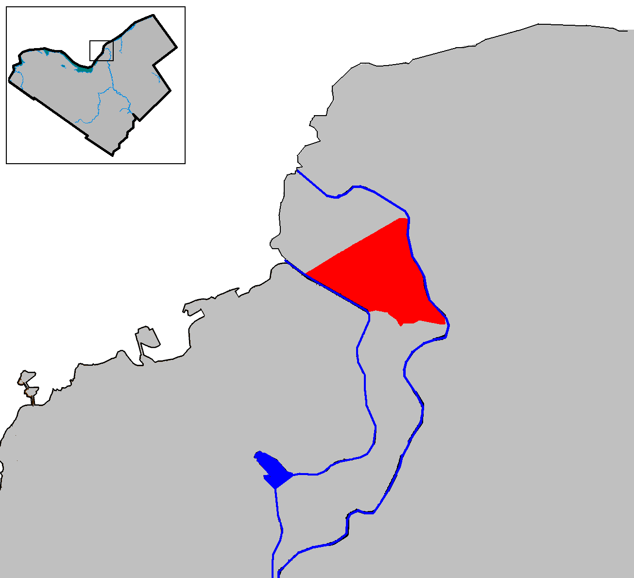
mapsize =
map_caption = Location of Sandy Hill in Ottawa
subdivision_type = Country
subdivision_name = Canada
subdivision_type1 = Province
subdivision_name1 =Ontario
subdivision_type2 = City
subdivision_name2 =Ottawa
leader_title = MPs
leader_title1 = MPPs
leader_title2 = Councillors
leader_title3 =
leader_title4 =
leader_name =Mauril Bélanger
leader_name1 =Madeleine Meilleur
leader_name2 =Georges Bédard
leader_name3 =
leader_name4 =
established_title =
established_date =
area_magnitude =
area_total_km2 =
area_total_sq_mi =
area_land_km2 =
area_land_sq_mi =
area_water_km2 =
area_water_sq_mi =
area_water_percent =
area_urban_km2 =
area_urban_sq_mi =
area_metro_km2 =
area_metro_sq_mi =
settlement_type = Neighbourhood
population_as_of = 2006
population_note =Canada 2006 Census
population_total = 12078
population_density_km2 =
population_density_sq_mi =
population_metro =
population_density_metro_km2 =
population_density_metro_sq_mi =
population_urban =
timezone = Eastern (EST)
utc_offset = -5
timezone_DST =
utc_offset_DST =
latd=45 |latm=25 |lats=30 |latNS=N
longd=75 |longm=40 |longs=30 |longEW=W
elevation_m = 70
elevation_ft = 230
website =
footnotes =Sandy Hill (French: Côte-de-Sable) is a neighbourhood in
Ottawa ,Ontario located just east of downtown. The neighbourhood is bordered on the west by theRideau Canal and on the east by theRideau River . To the north it stretches toRideau Street and theByward Market area while to the south it is bordered by the Queensway highway andNicholas Street . The area is named for its hilliness, caused by the river, and its sandy soil, which makes it difficult to erect large buildings. ["Exploring Ottawa: an architectural guide to the nation's capital." Harold Kalman and John Roaf. Toronto: University of Toronto Press, 1983. pg. 62] The population as of2006 was roughly 12,078 residents.History
Sandy Hill was, during the nineteenth and early twentieth century, Ottawa's wealthiest neighbourhood. Originally the estate of
Louis-Théodore Besserer ,who donated part of this land toUniversity of Ottawa , it was subdivided andbecame home to most of Ottawa'slumber baron s. When Ottawa became the country's capital, it became home to senior public servants and to the Prime Minister who lived at Stadacona Hall and later at what is now known asLaurier House .The construction of bridges over the canal and the introduction of
automobile s andstreetcar s made the area much closer to downtown, and it began to decline as the very wealthy moved toRockcliffe Park . The neighbourhood became much denser and moremiddle class . It was predominantly francophone, and the 1960s Radio-Canada television network drama "La Côte de Sable" was set there, to this day the network's only drama set outside Quebec.The area saw much growth at the end of the
Second World War as thebaby boom increased the population and the nearby federal government began hiring. Many of the once grand mansions became embassies. Many nations still have their embassies in Sandy Hill, including those ofRussia and of manyAfrica n nations, which are clustered near the Rideau River. Its population dropped by 30% in the 60's and 70's as families fled the dismal urban planning. Currently, there are many students living in the area due to its proximity to the University of Ottawa.Geography
Unusual among modern urban neighbourhoods, the demographics of Sandy Hill change dramatically over just a few blocks. Very wealthy people live near the embassies of the Rideau River, but closer to the university, one finds more students, more senior citizens, and more poor people living in boarding houses. The area is split about equally between the English speaking and the
francophone population, with large communities fromSomalia ,Lebanon , andHaiti . The area is very close to downtown, especially to theRideau Centre , Ottawa's premier shopping area. The area is well served bymass transit and the transitway passes by the university.Sandy Hill is often divided into four areas. Upper Sandy Hill consists of the area north of
Laurier Avenue . This part of the neighbourhood is much older with many of its buildings dating from the nineteenth century. The area is subject to the influences of more recent developments on the thoroughfare ofRideau Street . South of Laurier is Lower Sandy Hill largely built after theSecond World War , though there are a number of much older structures. The far south of neighbourhood below Mann Avenue is an area known as Strathcona Heights. This area is much smaller geographically than the other two but is as densely populated. It consists almost entirely of low-rise apartment buildings that are either subsidised housing or co-operatives. This area was completely redeveloped in the early 1990s. The area below the Strathcona Heights escarpment, near the Rideau River, is known as Robinson village. It was cut off from other neighbourhoods when highways were built, and contains low-rise houses and light industrial uses.Notable sites
*
Laurier House
*University of Ottawa
*Strathcona Park
*5 Blackburn Embassies
The large homes built by the lumber barons are today popular locations for embassies and many countries are represented in the neighbourhood:
*Algeria (Fleck/Paterson House)
*Angola
*Austria
*Brazil
*Brunei Darussalam (Stadacona Hall)
*Bulgaria
*Burkina Faso
*Democratic Republic of Congo
*Côte d'Ivoire
*Croatia (Toller House)
*Gabon
*Guinea
*Jamaican embassy in ottawa
*Kenya
*Mali
*Morocco
*Myanmar
*Niger
*Pakistan
*Poland
*Russia
*Senegal
*Serbia
*Sudan
*Switzerland
*Tanzania
*Togo
*Uganda
*Venezuela
*VietnamChurches
* [http://www.allnationsottawa.com/ All Nations Church]
* [http://www.allsaintssandyhill.ca/ All Saints Anglican Church]
*St. Alban's Anglican Church
*St. Clement Catholic Church
*St. Paul's-Eastern United Church
*St. Joseph's Catholic ChurchSee also:
List of Ottawa neighbourhoods References
*"Exploring Ottawa: an architectural guide to the nation's capital." Harold Kalman and John Roaf. Toronto: University of Toronto Press, 1983.
External links
* [http://www.bytown.net/capital.htm Sandy Hill: History of an Ottawa Neighbourhood]
* [http://www.ash-acs.ca/main_e.html Action Sandy Hill]
Wikimedia Foundation. 2010.