Little Qualicum Falls Provincial Park
- Little Qualicum Falls Provincial Park
Infobox Protected area
name = Little Qualicum Falls Provincial Park
iucn_category =
caption =
base_width = 300
locator_x =
locator_y =
location =
nearest_city = Parksville, British Columbia
lat_degrees= |lat_minutes= |lat_seconds= |lat_direction=
long_degrees= |long_minutes= |long_seconds= |long_direction=
area = 440 hectare
established = 1940
visitation_num =
visitation_year =
governing_body = BC Ministry of the Environment
world_heritage_site =
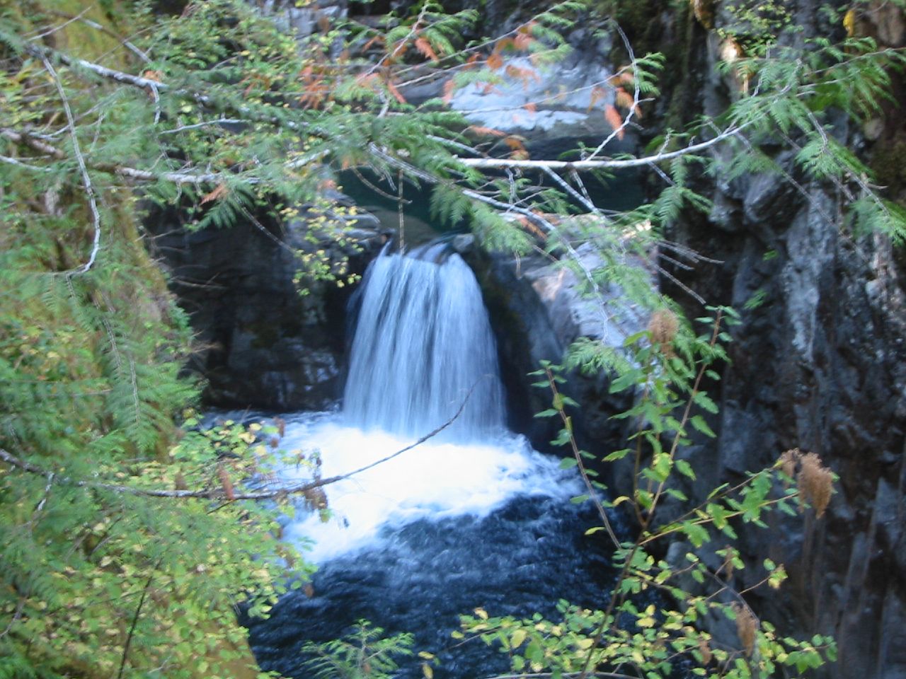
Little Qualicum Falls Provincial Park is a provincial park in British Columbia, Canada, on central Vancouver Island, that encompasses the entire southern shore of Cameron Lake. Little Qualicum Falls Provincial Park was originally established as a park in 1940 to protect the old growth Douglas-fir forest. Swimming, fishing, campgrounds and day-use areas are available within the park, as well as sail boarding due to a wind funnel created by the surrounding mountains, Mount Wesley to the north and Mount Arrowsmith to the south. The park maintains 6 km of walking trails within its perimeter.
References
* [http://www.env.gov.bc.ca/bcparks/explore/parkpgs/little.html Official BC Government Park website]
* [http://www.vancouverisland.com/parks/?id=7 British Columbia Tourism website]
* [http://www.vislandcamping.com/index.php?option=com_content&task=view&id=38&Itemid=160 vislandcamping.com review]
External links
*BCGNIS|2509|Little Qualicum Falls Provincial Park
*BCGNIS|2508|Little Qualicum River
* [http://content.lib.washington.edu/cdm4/item_viewer.php?CISOROOT=/alaskawcanada&CISOPTR=549&CISOBOX=1&REC=5 Photo of Little Qualicum Falls, undated, U.Wash Digital Collections]
Wikimedia Foundation.
2010.
Look at other dictionaries:
Qualicum Beach, British Columbia — Infobox City official name = British Columbia other name = native name = nickname = motto = imagesize = image caption = flag size = image seal size = image shield = shield size = image blank emblem = blank emblem size = mapsize = map caption =… … Wikipedia
Provincial Parks in British Columbia — Karte der Provincial Parks in British Columbia Die kanadische Provinz British Columbia unterhält 620 Provincial Parks (Stand: November 2010). Damit besitzt die Provinz nach den kanadischen Nationalparks das größte Parksystem des Landes. Über 13,5 … Deutsch Wikipedia
List of British Columbia Provincial Parks — The following is a list of all British Columbia land currently managed by [http://www.env.gov.bc.ca/bcparks BC Parks] . Any parks that are closed are not currently listed.There were a number of provincial parks, protected areas and ecological… … Wikipedia
Highway 4 (British Columbia) — Kreuzung der Highways 4 und 19 Der British Columbia Highway 4 liegt auf Vancouver Island und bildet dort eine Ost West Verbindung mit einer Länge von 163 km. Er führt vom Highway 19A bei Qualicum Beach nach Tofino an der Pazifikküste.… … Deutsch Wikipedia
List of waterfalls — This is a list of waterfalls of the world by continent.AfricaAngola*Kalandula Falls, second largest in AfricaBurkina Faso*Tagbaladougou FallsDemocratic Republic of the Congo*Boyoma Falls (Stanley Falls) *Inga Falls *Livingstone Falls *Lofoi… … Wikipedia
Liste de chutes d'eau — Cette liste est incomplète ou mal ordonnée. Votre aide est la bienvenue ! Salto Angel, la plus haute chute du monde, Venezuela Ceci est une liste des chutes d ea … Wikipédia en Français
Courtenay, British Columbia — City of Courtenay Coat of arms of City of Courtenay Coat of arms … Wikipedia
List of place names in Canada of Aboriginal origin — This list of place names in Canada of Aboriginal origin contains Canadian places whose names originate from the words of the First Nations, Métis, or Inuit, collectively referred to as Aboriginal peoples in Canada. When possible the original word … Wikipedia
Liste der in Kanada anerkannten Indianerstämme — Die Liste der in Kanada anerkannten Indianerstämme beinhaltet alle vom Department of Indian Affairs and Northern Development aufgeführten First Nations in Kanada. Zur Unterscheidung wurde seinerzeit ein Nummernsystem eingeführt, Nummern, die hier … Deutsch Wikipedia
Alexander Duncan McRae — Alexander Duncan McRae, C.B., (November 17, 1874 in Glencoe, Ontario – June 26, 1946, Ottawa, Ontario) was a successful businessman, a Major General in the Canadian Army in First World War, a Member of Parliament, a Canadian Senator and a farmer … Wikipedia