- Hekendorp
Dutch town locator maps
mun_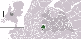
town_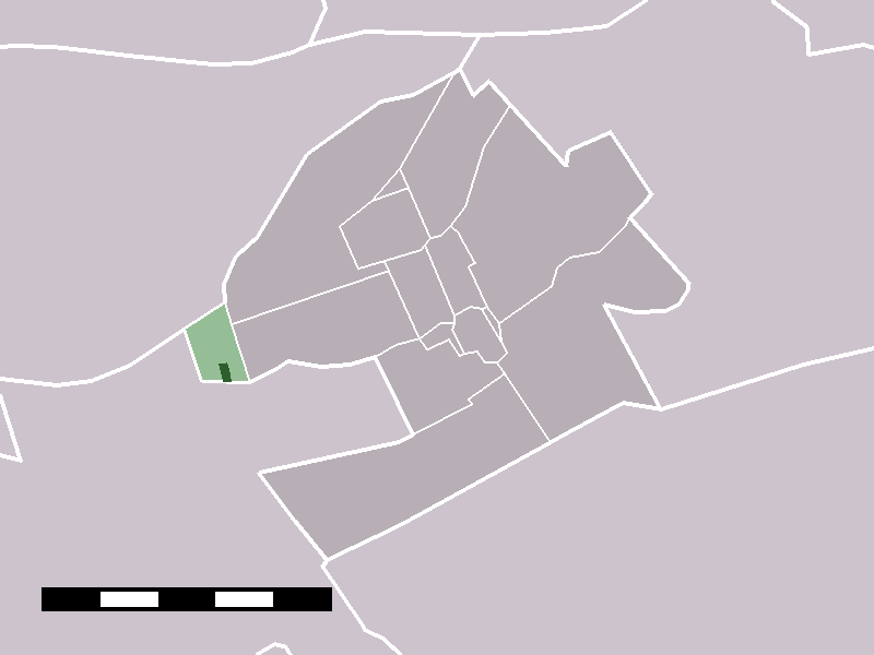
caption = The village (dark green) and statistical district (light green) of Hekendorp in the municipality of Oudewater.Hekendorp (coord|52|1|N|4|49|E|type:city(297)) is a village in the Dutch province of Utrecht. It is a part of the municipality of
Oudewater , and lies about 6 km east ofGouda .In
2001 , the village of Hekendorp had 297 inhabitants. The built-up area of the village was 0.05 km², and contained 114 residences.Statistics Netherlands (CBS), "Bevolkingskernen in Nederland 2001" [http://www.cbs.nl/nl-NL/menu/themas/milieu-natuur-ruimte/ruimte/publicaties/cartografie-geografie/geografische-data/2001-bevolkingskernen-in-nederland.htm] . Statistics are for the continuous built-up area.] The statistical district "Hekendorp", which covers the village and the surrounding countryside, has a population of around 470.Statistics Netherlands (CBS), "Statline: Kerncijfers wijken en buurten 2003-2005" [http://statline.cbs.nl/] . As ofJanuary 1 ,2005 .]Hekendorp was a separate municipality between 1817 and 1964, when it merged with
Driebruggen . During this period, the area was part of the provinceSouth Holland . In 1857, the municipality of Oukoop was added to Hekendorp, even though the two former municipalities did not border each other. [Ad van der Meer and Onno Boonstra, "Repertorium van Nederlandse gemeenten", KNAW, 2006. [http://www.knaw.nl/cfdata/publicaties/detail.cfm?boeken__ordernr=20061061] ]The
Goejanverwellesluis is located in Hekendorp.References
External links
* [http://www.kuijsten.de/atlas/zh/hekendorp.html Map of the former municipality in 1868]
Wikimedia Foundation. 2010.