- Prairie Creek Redwoods State Park
Infobox_protected_area | name = Prairie Creek Redwoods State Park
iucn_category = II

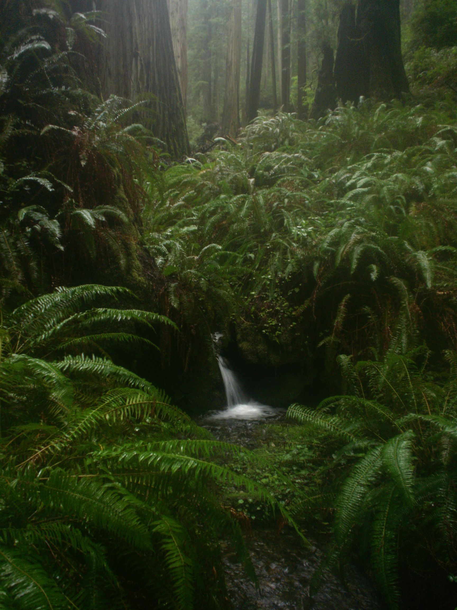
caption = A small waterfall on the side of Rhododendron Trail
locator_x =
locator_y =
location =California , USA
nearest_city = Arcata
lat_degrees = 41
lat_minutes = 24
lat_seconds = 13.79
lat_direction = N
long_degrees = 124
long_minutes = 2
long_seconds = 18.38
long_direction = W
area = 14,000 acres
established = 1925
governing_body =California Department of Parks and Recreation (cooperatively managed withinRedwood National and State Parks )Prairie Creek Redwoods State Park is a
state park , located inHumboldt County, California , near the town of Orick and 50 miles (80 km) north of Eureka. The 14,000-acre (57 km²) park is a coastal sanctuary for old-growthCoast Redwood trees.The park is jointly managed by the California Department of Parks and Recreation and the
National Park Service as a part of theRedwood National and State Parks . These parks (which includesDel Norte Coast Redwoods State Park ,Jedediah Smith Redwoods State Park , andRedwood National Park ) have been collectively designated as aWorld Heritage Site andInternational Biosphere Reserve .The
meadow along Drury Scenic Parkway, withRoosevelt elk , is considered a centerpiece of the park, located near the information center and campground. Other popular sites in the park areFern Canyon andGold Bluffs Beach . The park is also home to thetailed frog and several species of salmon.Trees
Prairie Creek Redwoods State Park is home to Atlas Grove, researched by
Stephen C. Sillett . Atlas Grove (location undisclosed) includes Iluvatar, the 2nd largestCoast Redwood . [Preston, Richard (2007). "The Wild Trees: A Story Of Passion And Daring". Allen Lane Publishers.] The location of Atlas Grove's Iluvatar is undisclosed to protect it's sensitive ecosystem. Other notable trees in disclosed to visitors are Big Tree, Corkscrew Redwood and the Cathedral Trees. Besides Coast Redwood, other tallconiferous tree species in the park's forests includeCoast Douglas-fir ,Sitka Spruce andWestern Hemlock .Trails
Trails in the park include:
* Miners Ridge and James Irvine - 11.6 miles
* Brown Creek Loop - 3.5 miles
* Big Tree Loop - 3.2 miles
* Ten Taypo Trail - 3.5 miles
* Rhododendron and Cal Barrel - 5.1 miles
* West Ridge and Prairie Creek South - 5.8 miles
* West Ridge and Rhododendron North - 7.7 miles
* The Friendship Ridge Trail - 8.0 miles
* The Ah Pah Trail - 0.6 mile
* The Nature Trail - 1.0 mileExternal links
* [http://www.mdvaden.com/grove_of_titans.shtml Images and Information including Prairie Creek's Atlas Grove]
* [http://www.parks.ca.gov/default.asp?page_id=415 California State Parks official site]References
Wikimedia Foundation. 2010.
