- Spojil
Geobox | Settlement
name = Spojil
other_name =
other_name1 =
category = Village
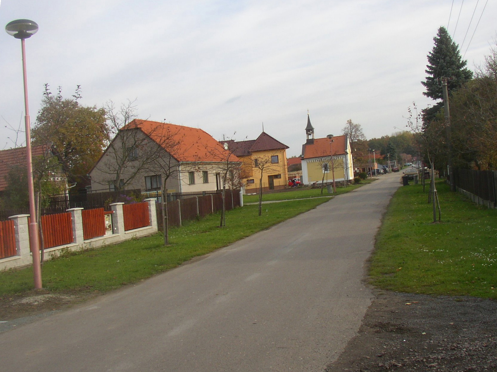
image_caption = View along main street towards northeast
symbol = Spojil CZ CoA.jpg
etymology =
official_name =
motto =
nickname =
country = Czech Republic
country_
state =
region = Pardubice
region_type = Region
district = Pardubice
district_type = District
commune = Pardubice
municipality = Pardubice
part =
river =
location =
elevation = 221
lat_d = 50
lat_m = 02
lat_s = 32
lat_NS = N
long_d = 15
long_m = 49
long_s = 22
long_EW = E
highest =
highest_elevation =
highest_lat_d =
highest_long_d =
lowest =
lowest_elevation =
lowest_lat_d =
lowest_long_d =
area = 1.75
area_round = 2
population = 342
population_date = 2006
population_density = auto
established = 1785
established_type = Founded
mayor = Jan Křivka
timezone =
map_background = Czechia - background map.png
map_locator = Czechia
commons = Spojil
statistics = [http://www.statnisprava.cz/ebe/ciselniky.nsf/i/574198 statnisprava.cz]
website = [http://www.spojil.com www.spojil.com]
footnotes =Spojil is a village in
Pardubice Region of theCzech Republic . It is located about 3 km east of city centre ofPardubice and has a population of 342 (2006). Spojil is quite young among Czech villages as it was founded in1785 in place of two former fish ponds, named "Spojil" and "Strejček". There is only one minor sight, the Assumptionchapel , built in1868 .External links
* [http://www.spojil.com/ Village website] (cz)


Wikimedia Foundation. 2010.