- Sulm (Germany)
Geobox River
name = Sulm
native_name =
other_name =
other_name1 =
image_size = 300
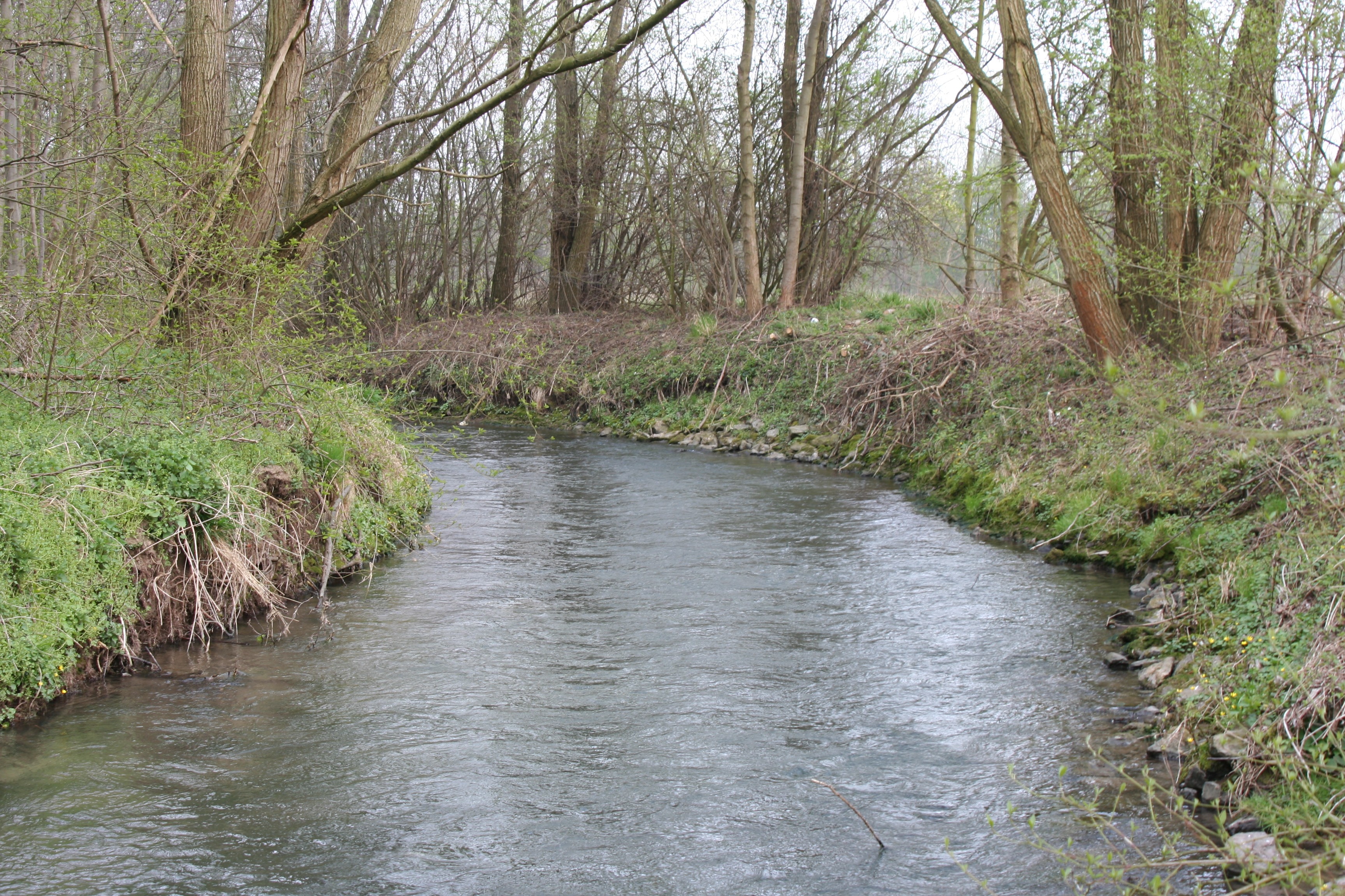
image_caption = The Sulm nearErlenbach .
country =Germany
state =Baden-Württemberg
city =Neckarsulm
length = 25
watershed = 111
discharge_location =Neckarsulm
discharge = .92
discharge_max_imperial =
discharge_min_imperial =
discharge_note =
source_name =
source_location =Löwenstein
source_district =
source_region =
source_state =
source_country =
source_lat_d =
source_lat_m =
source_lat_s =
source_lat_NS =
source_long_d =
source_long_m =
source_long_s =
source_long_EW =
source_elevation = 463
mouth_name =Neckar
mouth_location =Neckarsulm
mouth_district =
mouth_region =
mouth_state =
mouth_country =
mouth_lat_d =
mouth_lat_m =
mouth_lat_s =
mouth_lat_NS =
mouth_long_d =
mouth_long_m =
mouth_long_s =
mouth_long_EW =
mouth_elevation = 148
tributary_left =
tributary_left1 =
tributary_right =
tributary_right1 =
free_name =
free_value =
_Flusslauf.png)
map_size = 300
map_caption = Map of the Sulm (red)The Sulm is an unnavigable right
tributary of theNeckar in theHeilbronn district ofBaden-Wuerttemberg . It arises in theLöwensteiner Mountains and after 25.3 km (15.7mile s) and 315meter s (1033 feet) of elevation flows into the Neckar inUntereisesheim , nearNeckarsulm .Geography
The Sulm flows south from the city
Löwenstein at the edge of the Löwensteiner Mountains. At its origin, the Sulm is fed by severalbrook s, and which brook specifically constitutes the source is subject to interpretation. Several such brooks discharge into an artificially createdretention basin .The retention basin is on the watershed between Sulm and
Schozach and has dams in both directions. It is fed with water that that further east, at 465 m above sea level, comes from rising book brook. It arrives into the retention basin and from this into the Sulm. according to one source the short piece of the retention pond discharge or even the whole upper book brook including Mühlgraben is regarded as " Sulm " (in this case the overall length of the river reaches 26.2 km).Indisputablely the Sulm flows of from there. For a short distance, it travels under the area of the company Teusser verdolt (thus underground), at the edge of the Löwensteiner of quarter Teusserbad and to 1623 built surge tank, takes a sharp turn northward, then eastward past the Löwensteiner local part
Rittelhof . With a sea-mill south of B 39, one surviving of the originally three Löwensteiner mills, it feeds 39 a Mühlsee. After crossing under the B 39, it formsthe farmstead Beckershof nearby at approx. 222m above sea level. From1975 to1980 for reasons of the flood protection, 40 hectares of largedetention basin were artificially accumulated, which with his larger part already onObersulm , Gemarkung lies. Northwest from Obersulm Weiler the river drains from the lake and turns to the west.Here it, coming from southeast, is led in the middle by the Weinsberger motorway interchange, in that itself A 6 and A 81 meets. Here in former times the Weinsberger Benzenmühle broke off because of motorway construction 1971. The hare mill is received, to find to the Sulm, after this left the motorway interchange in the northwest. Already on Erlenbacher Gemarkung, but east the place, the concrete dam of a flood control storage basin is after the supply of the white yard brook.
At the southern local edge of Erlenbach and its local part being cheeks flows past the Sulm after northwest toward
Neckarsulm . Here is a further floodcontrol storage basin. Starting from the city boundary the Sulm flows straightened in a park area, that 1975 Sulmtalpark put on. In former times different mills were along their run on Neckarsulmer area. The close mill which was directly because of the city boundary was broken off 1988. Starting from here the Sulm ran in former times in a far elbow first northward, then to the west by the work areaNSU of engine works . After two floods in the year 1970 the river was verdolt 1973 to 1975. It runs since then over 2,6 km underground and meets in the north of the Neckarsulmer Gemarkung, at the border to bath Friedrichshall, on (in this section) the 1925 finished Neckarkanal. There the Sulm is passed through directly following the Dole with oneDüker under the channel. She is to be seen deeper in a maintenance building again several meters briefly before.On the west side of the Neckarkanals shows up it on „the island “between channel and Altneckar again and forms here for instance 250 m the border between bath Friedrichshall and
Untereisesheim , before it finally opposite of Untereisesheim on 148 m over NN in the Neckar flows.Catchment
The water catchment area of the Sulm covers 111 km² and limited by the watersheds to
Brettach in the north and the east,Schozach in the southwest andMurr in the southeast.The most important supplies (with the place of their inlet) are on the right side: Schlierbach (in Obersulm Affaltrach), Michelbach (in Affaltrach), Seebächle (in Obersulm Willsbach), Sülzbach (in Obersulm Sülzbach), white yard brook (called at the beginning of Eberbach, above Erlenbach). On the left side: Hambach (in Obersulm Willsbach), Ellbach (in Ellhofen), city sea or sow brook and/or Weinsberger brook (in Erlenbach).
Wikimedia Foundation. 2010.