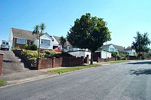
Milber

Milber
Houses in Milber

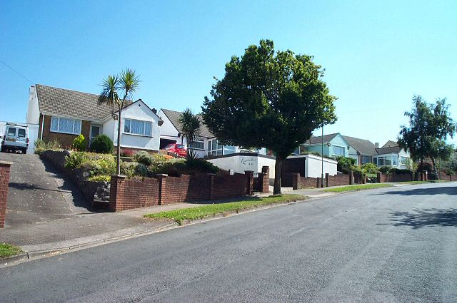
Milber is a housing estate at grid reference SX8770 considered part of the town of Newton Abbot in south Devon. It is on the opposite side of the A380 road from the town centre. Milber contains mainly houses, but also a trading estate and some shops. Its unusual 20th-century church of St Luke was built as a result of a dream experienced by William Keble Martin in 1931. It is partly circular in form with three naves and was completed in 1942.[1] [2] Some of the roads in Milber are named after trees - Hazel Close and Chestnut Drive being examples of this. The narrow, kilometre-long, strip of Ben Stedham's Wood separates Milber from the suburbs of Aller and Newtake: the Iron Age hill fort of Milber Down is at the top of this wood.

References

  1. ^ Harris, Helen (2004). A Handbook of Devon Parishes. Tiverton: Halsgrove. p. 118. ISBN 1-84114-314-6. 
  2. ^ Martin, W. Keble (1968) Over the Hills ---. London: Michael Joseph; pp. 103-05

External links

Coordinates: 50°31′23″N 3°35′25″W / 50.52306°N 3.59028°W / 50.52306; -3.59028


Wikimedia Foundation. 2010.

Игры ⚽ Поможем написать курсовую

Look at other dictionaries:

  • Milber Down — Coordinates: 50°30′50″N 3°33′50″W / 50.514°N 3.564°W / 50.514; 3.564 Milber Down is an Iron Age …   Wikipedia

  • Coffinswell — A typical view of the village of Coffinswell Coffinswell is a small village in South Devon, England, just off the A380, the busy Newton Abbot to Torquay road. It lies within Teignbridge District Council. Coffinswell has a church dedicated to… …   Wikipedia

  • Newton Abbot — You may be looking for Newton Abbot (UK Parliament constituency) Coordinates: 50°32′25″N 3°36′31″W / 50.5403°N 3.6087°W / 50 …   Wikipedia

  • Teignbridge (UK Parliament constituency) — UK constituency infobox Name = Teignbridge Map1 = Teignbridge Map2 = Devon Type = County Year = 1983 Entity = Devon County = Devon EP = South West England MP = Richard Younger Ross Party = Liberal DemocratTeignbridge is a county constituency… …   Wikipedia

  • Newton Abbot (UK Parliament constituency) — Coordinates: 50°32′46″N 3°29′49″W / 50.546°N 3.497°W / 50.546; 3.497 …   Wikipedia

  • Buckland, Devon — Buckland is an area in suburban Newton Abbot, Devon. It has one primary school called Milber Primary school which is well known for producing the golden generation of players in the late 1990s. Such players as Ross Green, Chris Davey and Aaron… …   Wikipedia

  • List of hill forts in England — This List of hill forts in England is a list of links to any hill fort in England, UK.Berkshire*Alfred s Castle, Badbury Hill, Cherbury Camp, Hardwell Castle *Segsbury Camp, Uffington Castle, Walbury Hill, Wittenham ClumpsBristol*Kingsweston… …   Wikipedia

  • ВИД — ВИД, species, одно из основных понятий естественно научной классификации. Из вполне естественной потребности разобраться во всей массе предметов окружающей природы все народы создали особые названия для различных животных, растений и минералов.… …   Большая медицинская энциклопедия

Share the article and excerpts

Direct link
Do a right-click on the link above
and select “Copy Link”