- Tynaarlo (village)
Dutch town locator maps
mun_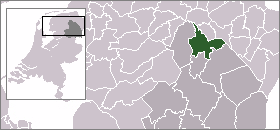
town_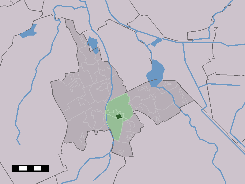
caption = The town centre (dark green) and the statistical district (light green) of Tynaarlo in the municipality of Tynaarlo.. Tynaarlo is located close to the motorway "A28", which is a connection to the south and the west of the country.
In 2001, the town of Tynaarlo had 1009 inhabitants. The built-up area of the town was 0.29 km², and contained 427 residences.Statistics Netherlands (CBS), [http://www.cbs.nl/nl-NL/menu/themas/milieu-natuur-ruimte/ruimte/publicaties/cartografie-geografie/geografische-data/2001-bevolkingskernen-in-nederland.htm "Bevolkingskernen in Nederland 2001"] . (Statistics are for the continuous built-up area).] The statistical area "Tynaarlo", which also can include the surrounding countryside, has a population of around 1920.Statistics Netherlands (CBS), [http://statline.cbs.nl/ "Statline: Kerncijfers wijken en buurten 2003-2005"] . As of
January 1 ,2005 .]References
Wikimedia Foundation. 2010.