- Limmen
Dutch town locator maps
mun_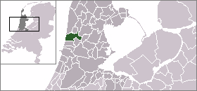
town_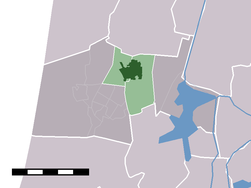
caption = The town centre (darkgreen) and the statistical district (lightgreen) of Limmen in the municipality of Castricum.Limmen (coord|52|34|N|4|42|E|type:city(5602)) is a town in the Dutch province of
North Holland . It is a part of the municipality ofCastricum , and is situated about 9 km southwest ofAlkmaar . Before 2002 it was a separate municipality.In 2001, the town of Limmen had 5602 inhabitants. The built-up area of the town was 1.2 km², and contained 2061 residences.Statistics Netherlands (CBS), "Bevolkingskernen in Nederland 2001" [http://www.cbs.nl/nl-NL/menu/themas/milieu-natuur-ruimte/ruimte/publicaties/cartografie-geografie/geografische-data/2001-bevolkingskernen-in-nederland.htm] . Statistics are for the continuous built-up area.] The wider statistical area of Limmen has a population of around 6860.Statistics Netherlands (CBS), "Gemeente Op Maat 2004: Castricum" [http://www.cbs.nl/nl-NL/menu/themas/nederland-regionaal/nederland-regionaal/publicaties/gemeente-op-maat/2004/alfabet/C/2004-castricum.htm] .]
History
Limmen has been mentioned in various documents since 750, by the name Limbon and later Limmen. It has seen wellfaring times, but also times of struggle.
When the people of Limmen became more dependent on agriculture instead of trade at the beginning of the 15th century, the more wealthy moved away. For three centuries Limmen did not develop or grow, despite some efforts made to make the town more attractive.Around 1850 Limmen had just 450 inhabitants left.
When Limmen was made more accesible in the late 19th century as an effect of the growing Dutch infrastructure, making Limmen a growing town. More work was created, especially by growing bulbs, which made Limmen the so called "bollencentrum" (bulb-centre) of the northern part of Holland.
Flowerdays
The annual "Bloemendagen" (Flowerdays) are a tradition in Limmen in the month of May. People living there make mosaics with the flowers of the "
Hyacinthus orientalis " and set up the mosaics in front of their house. People from the neighboring village of Castricum judge the mosaics and various prizes are awarded.The village also has a botanical museum.
References
External links
* [http://www.kuijsten.de/atlas/nh/stoutenburg.html Map of the former municipality in 1868]
Wikimedia Foundation. 2010.