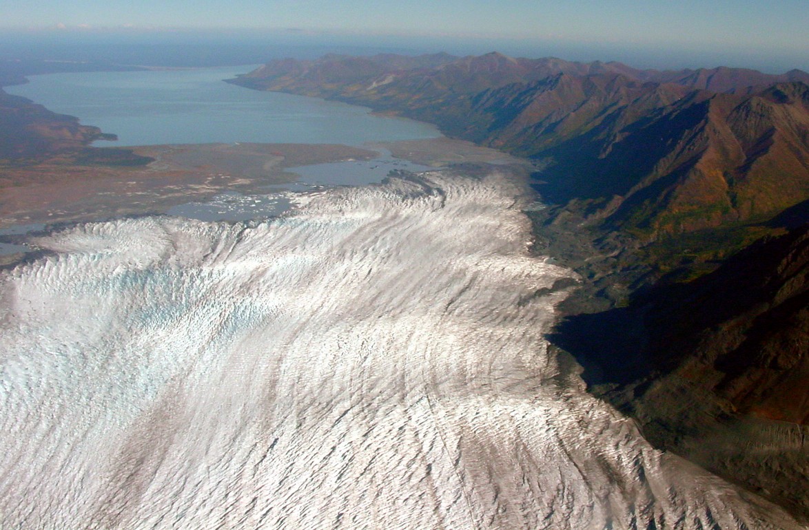
- Tazlina Glacier
Infobox_Glacier | glacier_name = Tazlina Glacier

caption = Tazlina glacier terminus region
type = Valley glacier
location =Valdez-Cordova Census Area, Alaska , U.S.
coordinates = coord|61|35|16|N|146|31|45|W|type:glacier
area =
length = 25 miles (40 km)
thickness =
terminus = outwash plains
status = retreatingTazlina Glacier is a 25-mile-long (40 km)
glacier in theU.S. state ofAlaska . [cite web| url = http://www.topozone.com/map.asp?lat=61.58779&lon=-146.52921&s=500&size=l&u=4&datum=nad27&layer=DRG| title = USGS Valdez C-7 (AK) Topo Map| publisher = Topozone| accessdate = 2007-01-24] It begins 1.5 miles (2.4 km) north ofMount Cashman and flows north to its terminus one mile (1.6 km) south ofTazlina Lake and 43 miles (69 km) north of Valdez. Tazlina glacier is the largest northward flowing glacier in theChugach Mountains . The terminus of the glacier is retreating and thinning. [cite web| url = http://www.usgs.gov/features/glaciers2.html| title = Alaskan Glaciers| publisher = U.S. Geological Survey| accessdate = 2007-01-24]ee also
*
List of glaciers Cited references
External links
*Gnis|1410695
* [http://geogdata.csun.edu/alaska_panorama_atlas/page3/files/page3-1050-full.html Image]
Wikimedia Foundation. 2010.
