- Bir Gandus
Infobox Settlement
official_name = PAGENAME
native_name =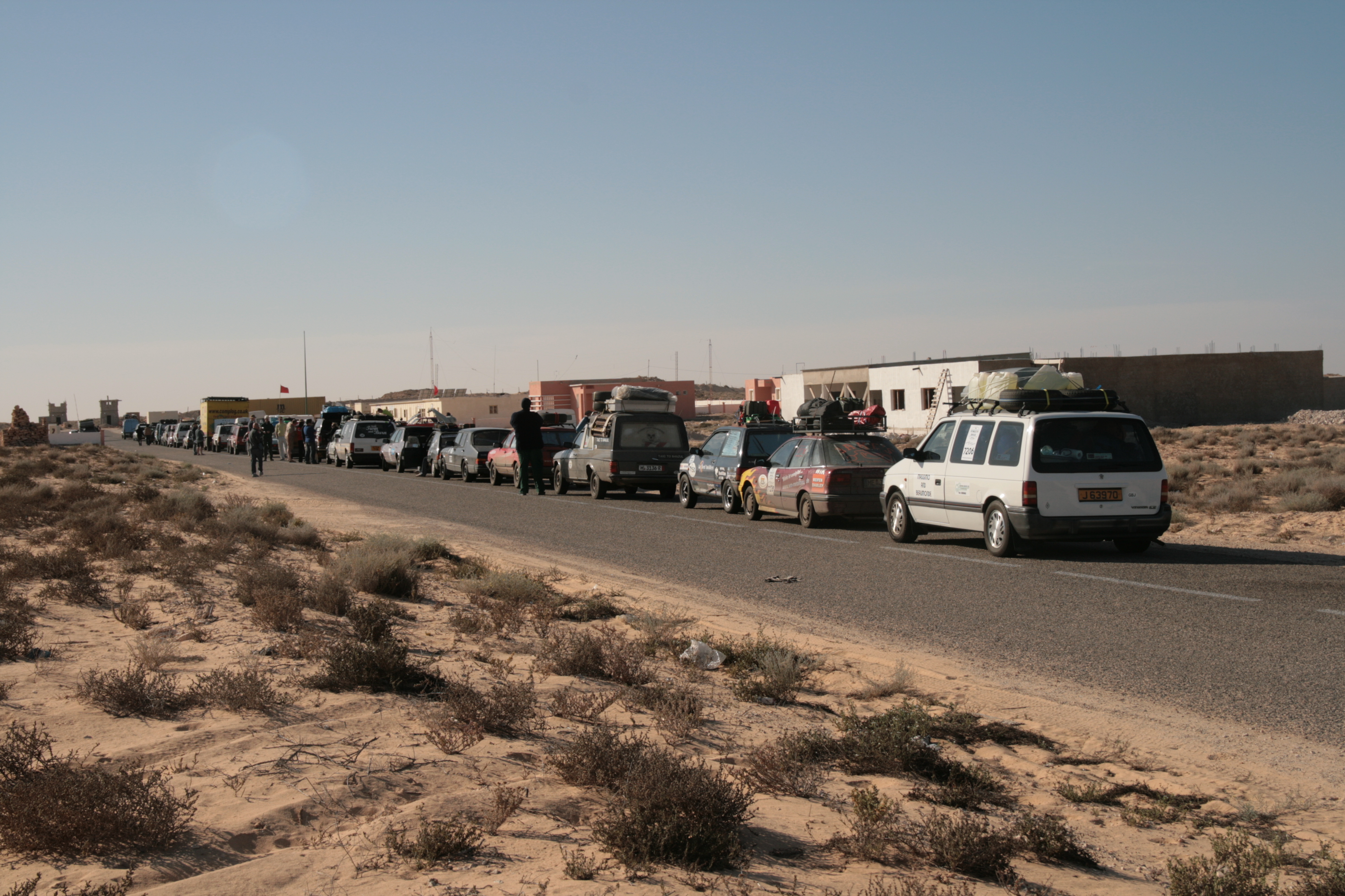
imagesize = 300px
image_caption = Border crossing in Bir Gandus
image_
map_caption =
pushpin_
pushpin_label_position =bottom
pushpin_mapsize = 300
pushpin_map_caption =Location in Western Sahara, Morocco
subdivision_type = Country
subdivision_type1 = Claimed by
subdivision_name =Morocco
subdivision_name1 =Western Sahara
subdivision_type2 =Area
subdivision_name2 =
established_title =
established_date =
government_type =
leader_title =
leader_name =
area_magnitude =
area_total_sq_mi =
area_total_km2 =
area_land_sq_mi =
area_land_km2 =
area_urban_sq_mi =
area_urban_km2 =
area_metro_km2 =
area_metro_sq_mi =
population_as_of=2004
population_footnotes =
population_total = Less than 50
population_urban =
population_metro =
population_density_sq_mi =
population_density_km2 =
timezone =
utc_offset =
timezone_DST =
utc_offset_DST =
latd=21|latm=37|lats=|latNS=N
longd=16|longm=28|longs=|longEW=W
elevation_footnotes=
elevation_m =
elevation_ft =
postal_code_type =
postal_code =
area_code =
website =
footnotes =Bir Gandus "bi'r qandūz" (or Bir Gandouz, Bir Gandús) is a village in
Western Sahara , on the border withMauritania , with apopulation of less than 50. It holds a Moroccan military post and serves as a passport control on entry or exit to Mauritania. [ [http://www.fallingrain.com/world/WI/0/Bir_Gandus.html "Bir Gandus, Western Sahara Page"] , Falling Rain Genomics]References
External links
* [http://maps.google.com/maps?q=Western+Sahara&hl=en&ie=UTF8&om=0&z=17&ll=21.614874,-16.470115&spn=0.007351,0.013068&t=h Satellite image on Google Maps]

Wikimedia Foundation. 2010.