- Clyde walkway
-
Coordinates: 55°43′58″N 3°52′50.96″W / 55.73278°N 3.8808222°W
Clyde walkway 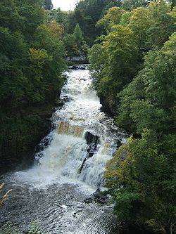
Corra Linn above New Lanark Length 65 kilometres (40 mi) Location Central Scotland Designation UK National Trail Trailheads Central Glasgow
New LanarkUse Hiking Sights River Clyde The Clyde Walkway is a foot and mountain bike path which runs from Glasgow, Scotland, to just above the UNESCO World Heritage village of New Lanark. The path runs close to the River Clyde for most of its length. It was completed in 2005.
Contents
Route of the path
Glasgow to Cambuslang Bridge (9.5 miles/15 kilometres) – this section starts at Partick station (which is on a line from Glasgow Central station) and proceeds on the north bank of the River Clyde to Cambuslang Bridge. The bridge is a short distance from Cambuslang railway station; which is on the line from Glasgow to Lanark (Lanark Station is approximately 1.5 miles (2.4 km) from New Lanark). The path passes by a number of other long distance paths, including the Glasgow to Inverness National Cycle Route, the Kelvin Walkway and paths to Edinburgh, Irvine and Greenock. The path passes a number of sites of interest.
Cambuslang Bridge to Strathclyde Country Park (8.75 miles/14 kilometres) – for most of this section the path stays close to the River Clyde. It passes Bothwell Castle, David Livingstone Centre, the remains of Craighead Viaduct and Raith Haugh Nature Reserve. This section of the path ends at the Watersports Centre in Strathclyde Country Park. The nearest railway station is just over one mile (1.6 km) away in Motherwell. The station is on the Glasgow-Lanark line.
Strathclyde Country Park to Cardies Bridge (8.75 miles/14 kilometres) – this section follows the north bank of the River Clyde [apart from a short section at the end] through open country. It passes the Avon Walkway which can be followed to Chatelherault Country Park. The section ends at Cardies Bride which is 3.2 miles (5.1 km) from the closest train station in Wishaw. However, a half hourly bus service operates between Wishaw and Larkhall on the A71 passing the Walkway 150 metres before Cardies Bridge (First Group Service 242)[citation needed].
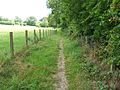
Cardies Bridge to Crossford (6.25 miles/10 kilometres) – this section runs through attractive open countryside. This part of the Clyde Valley was famous for its orchards and greenhouses. Many remain, though few of the orchards are still in commercial production. The path passes the well preserved 16th century Craignethan Castle. This section ends at the village of Crossford. There are bus services to Lanark, and to Hamilton. The nearest railway station is an approximately 3.5 miles (5.6 km) walk [most of it uphill] away in Carluke. The station is on the Glasgow-Lanark line.
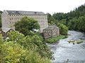
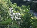
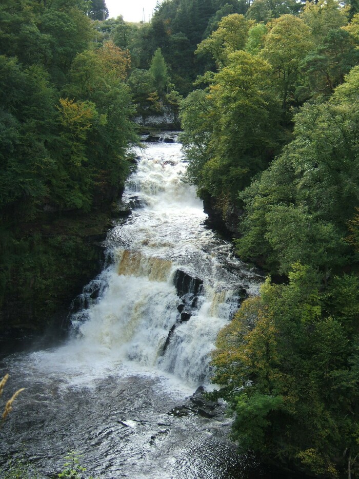
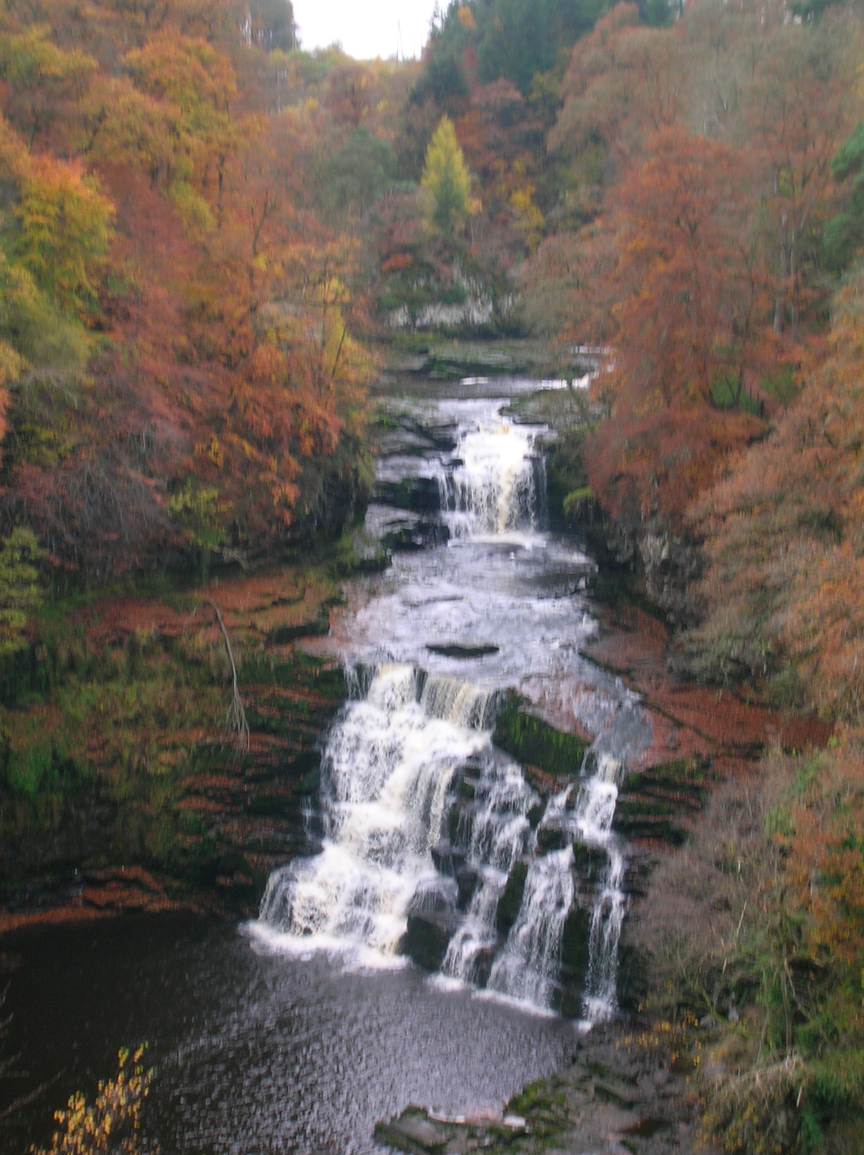
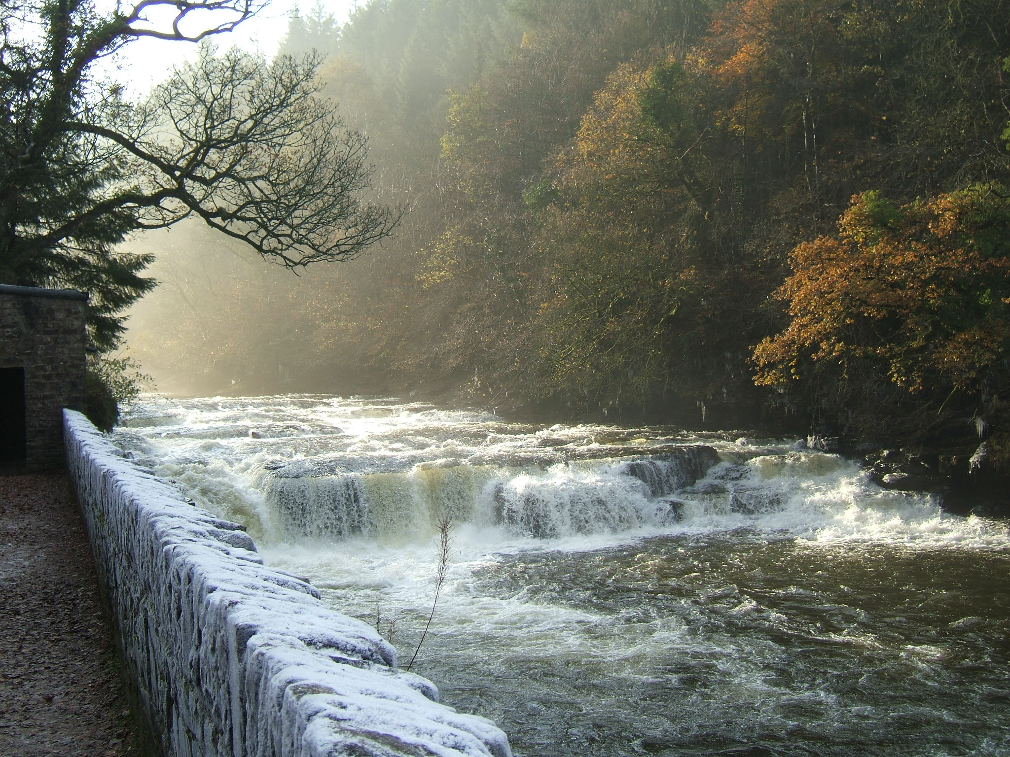
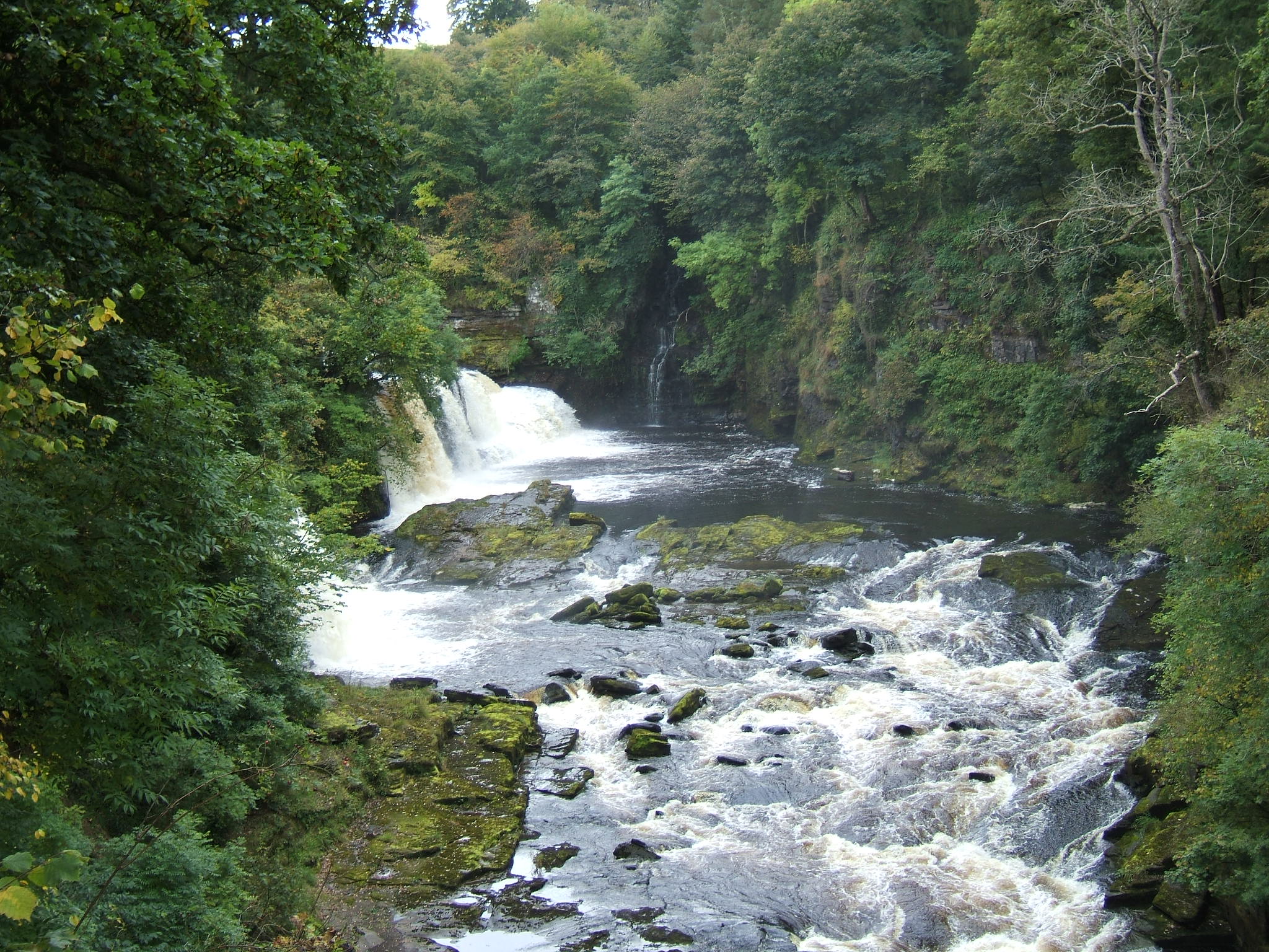
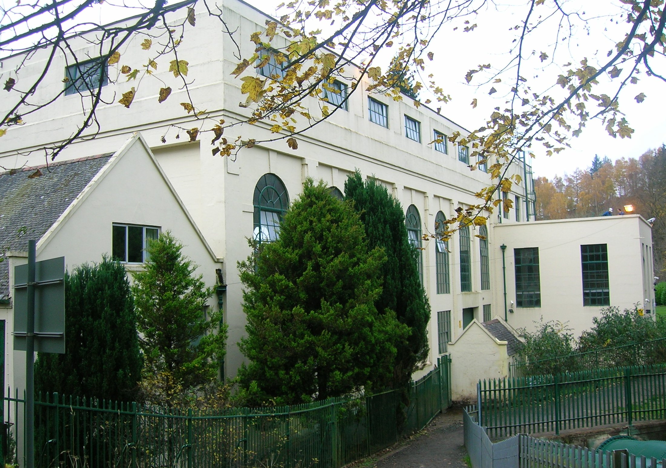
Crossford to New Lanark (6.75 miles/11 kilometres) – this is probably the most attractive section of the path. The path proceeds through open country along the banks of the River Clyde. It first passes Stonybyres Hydroelectric Station. This was built in 1927. The falls here are 21 metres high and migrating salmon and sea trout cannot get any higher up the river. After passing Lanark [founded 1180] the path enters the UNESCO World Heritage village of New Lanark. The village and mills were built in the 18th century to harness the power of the River Clyde to process cotton. It is now a restored industrial village in a rural setting. Beyond the village the path enters the Falls of Clyde (waterfalls) Nature Reserve and passes the Bonnington Hydroelectric Station, and the remaining three Falls of Clyde. The most spectacular of these is the 28 metre high Corra Linn.
The path ends in open countryside at the top fall, Bonnington Linn, where there is a dam to divert water to the power station. Walkers who wish to return to Glasgow should follow the path back to New Lanark, where they can either catch a bus to Lanark, or walk approximately 1.5 miles (2.4 km) to Lanark Station for a direct train to Glasgow. New Lanark has a three star hotel, the New Lanark Mill Hotel, and a youth hostel operated by the Scottish Youth Hostels Association.
Photographs
-
New Lanark from the walkway. -
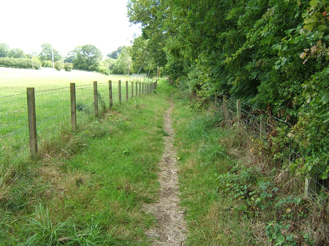
Clyde walkway between Kirkfieldbank and Crossford. -

Clyde walkway near Crossford. -

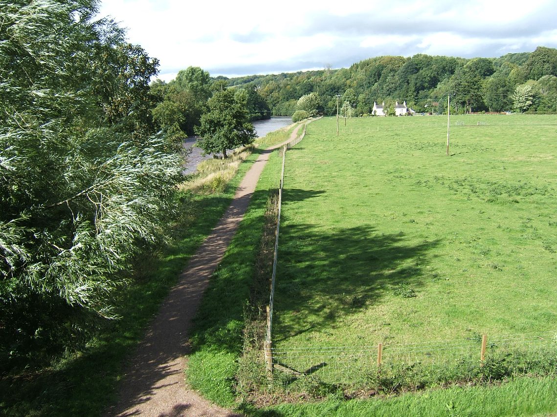
Bridge at Kirkfieldbank. -

The Stonebyres Power Station dam. -

The walkway near Stonebyres. -
Stonebyres Power Station. -
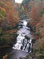
Corra Linn in the autumn. -
The natural amphitheatre below Corra Linn. -

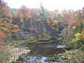
Dundaff Linn at New Lanark in winter. -
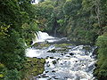
Bonnington Linn. -

Bonnington hydroelectric power station. -
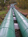
The pipes supplying water from the Clyde to Bonnington hydroelectric power station. -
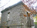
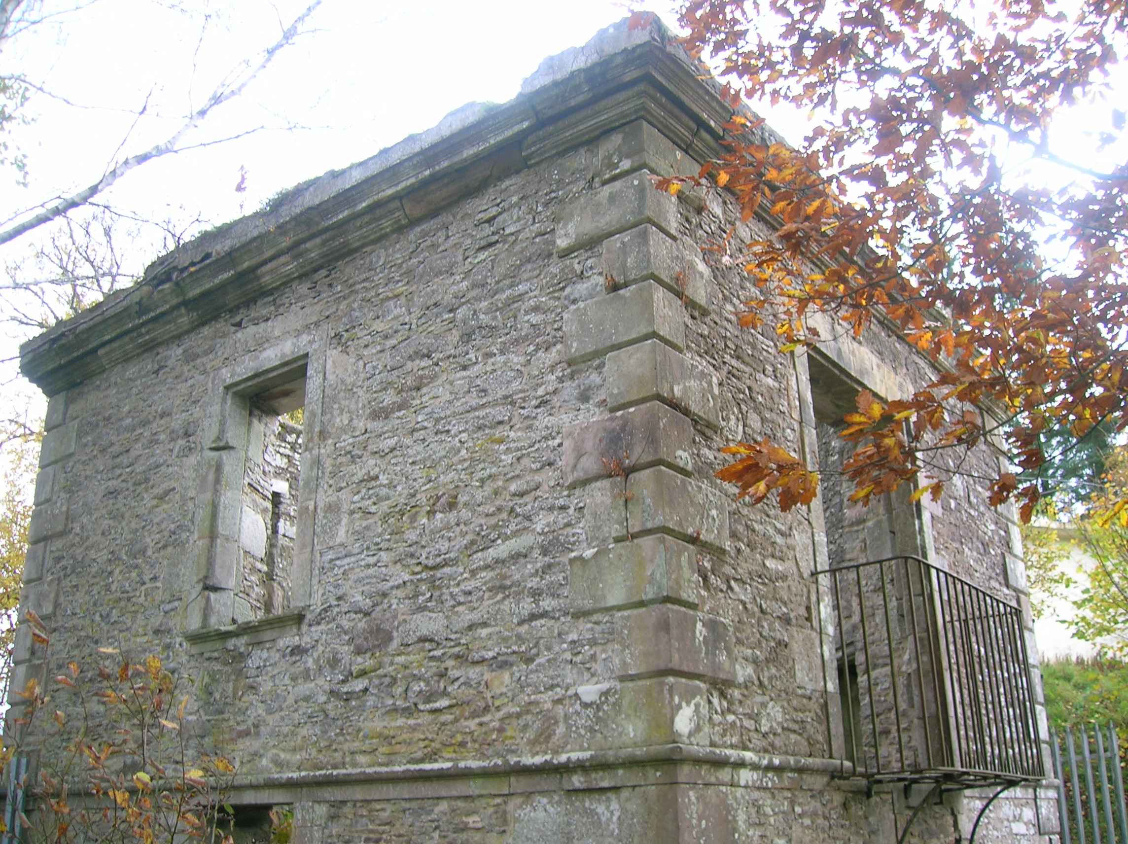
The ruins of the Hall of Mirrors or Bonnington Pavilion overlooking Corra Linn. -
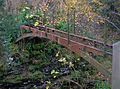
The old iron bridge at the Bonnington Falls. -
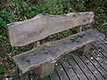
A bench on the walkway in the Falls of Clyde nature reserve.
References
- South Lanarkshire Council, Leisure & Recreation Department. The Clyde Walkway.
External links
- Walk and cycle route - the Clyde Walkway
- Clyde Walkway guide and maps on Walkhighlands
- Annotated map of the Clyde Walkway
- First Group Bus timetable (Service 242)
Categories:- Visitor attractions in Glasgow
- Visitor attractions in South Lanarkshire
- Cambuslang
- Long-distance footpaths in Scotland
- Mountain biking venues in the United Kingdom
-


Wikimedia Foundation. 2010.